Gunung Nuang: A Hiker's Guide (2026)
Gunung Nuang is Selangor's highest peak at 1,493 m, and it sits roughly an hour from central KL — which makes it one of the most accessible serious mountains in Peninsular Malaysia. Don't let the proximity fool you. This is a genuine, full-day challenge with steep root-covered terrain, multiple river crossings, and enough leeches to make you rethink open shoes forever. The hiking community uses it as a training peak for Mount Kinabalu and Gunung Semeru, and that reputation is well-earned.

The most popular approach is via Kampung Pangsun on the Selangor side — a 17–20 km round trip with 1,300–1,600 m of elevation gain from the trailhead. There's also a Janda Baik route from the Pahang side, shorter at around 12 km one-way but less documented. This guide covers both, with the Pangsun route as the primary focus since that's where most hikers start and where the permit system is most established.
Who should do this? Hikers with solid base fitness who've done a few sub-1,000 m trails and want to step up. Not a trail for beginners, and definitely not a trail for those who think a Bukit Tabur warm-up is sufficient. Come prepared, come early, and respect the mountain.
Quick Facts
- Elevation: 1,493 m asl
- Distance: 17–20 km round trip (via Pangsun); ~12 km one-way (via Janda Baik)
- Elevation Gain: ~1,300–1,600 m (via Pangsun); ~1,000 m (via Janda Baik)
- Duration: Via Pangsun — ascent 4–5.5 hrs, descent 3–4 hrs, total 8–12 hrs round trip; Via Janda Baik — 4–6 hrs one way
- Difficulty: Challenging
- Permit Required: Yes, on both routes
- Licensed Guide Required: Yes, mandatory on both routes
- Best Season: February to October
- Trailhead (Pangsun): Hutan Lipur Gunung Nuang, Kampung Pangsun, 43100 Hulu Langat, Selangor
Getting There & Parking
The Pangsun trailhead is at Hutan Lipur Gunung Nuang, Kampung Pangsun (sometimes written Pangsoon), Hulu Langat, Selangor. GPS coordinates: approximately N3.217219, E101.883205. From central KL, expect about an hour's drive via Jalan Hulu Langat — traffic heading out of the city on weekends can stretch that, so factor it in if you're targeting a 6–7 am start at the trailhead.
Parking is available at the Pangsun trailhead. A fee of RM3 was reported in 2020 — it may have changed, so bring small change. The lot fills up fast on weekends; arriving before 6 am is not overkill here.
The Janda Baik trailhead is accessed from Janda Baik, Pahang on the north-east side, starting at roughly 500 m asl. This is a separate permit jurisdiction (Pahang Forestry) and typically used by those doing a traverse or coming from the Pahang side.
Permits & Fees
A permit is mandatory on both routes, and so is a licensed Malim Gunung (mountain guide). You can't just show up and hike — this is enforced.
Via Pangsun (Selangor side): Permits are issued by Jabatan Perhutanan Selangor through their online portal. The fee is RM10 per permit (post-2023 rate; older sources cite RM5 before 2023). Apply approximately two weeks in advance — slots fill up, especially on weekends. A licensed guide is assigned to your group upon permit approval. Guide fees have been reported as RM170 per guide, though some sources cite RM400 for Gunung Nuang — the discrepancy may be per-guide versus a group or package total. Verify the current guide fee directly with Jabatan Perhutanan Selangor when you apply, because the numbers in circulation don't agree.
Via Janda Baik (Pahang side): Permits are issued by the Pahang State Forestry Department. Fee is RM10 for locals and RM30 for foreigners (2024 rates). A licensed guide is also required on this route.
Parking at Pangsun was RM3 as of 2020 — check current rates on arrival.
Trail conditions and permit requirements change — always check with the local forestry office or park authority before you go. Checking a different gunung? Try our free permit checker — instant answer for 90+ Malaysian mountains. Or ask the TAHAN Hiking Community on WhatsApp — someone's usually been there that week.
The Trail: What to Expect
The Pangsun route is four stages in character, even if not formally marked that way. Here's what you're walking into.

Stage 1 — Trailhead (185 m) to Kem Lolo (480 m)
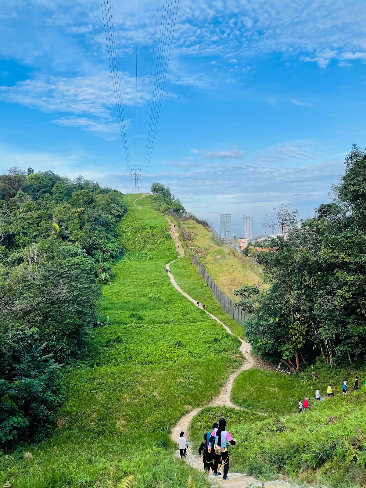
Around 5 km along what locals and trip reports call the 'never-ending road' — an undulating stony jeep track and logging road that eats your legs before the real climb starts. It's not technically hard, but it's long and exposed in the morning heat. Pace yourself here; burning out on the jeep track is a classic Nuang mistake. River crossings start appearing near the end of this stage. Kem Lolo sits at 480 m and has river water available — filter or treat it before drinking.

Stage 2 — Kem Lolo (480 m) to Kem Pacat (1,075 m)
This is where Gunung Nuang earns its reputation. The trail gets steep, root-covered, and relentless. You're gaining nearly 600 m of elevation in this section, and the terrain demands it. Kem Pacat is notorious for leeches — its nickname translates roughly to 'leech camp', and it's accurate. Put your leech socks on before you reach here, not after. The mud gets significant after rain; grippy footwear is not optional on this section.

Stage 3 — Kem Pacat (1,075 m) to Puncak Pengasih (1,430–1,445 m)
Still steep, still root-covered. At around 1,250 m there's a junction with a rarely-used trail leading to Bukit Repin (1,341 m) — stay on the main trail toward Puncak Pengasih. Puncak Pengasih looks like the summit and feels like it should be the summit. It is not the summit. Views on clear days are panoramic and worth a short stop, but don't celebrate yet.

Stage 4 — Puncak Pengasih to Gunung Nuang Summit (1,493 m)
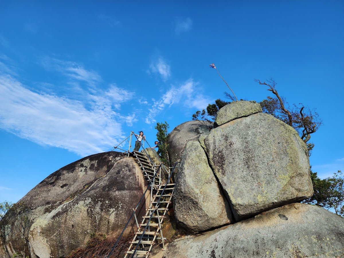
A short final push to the true summit, marked with a trig point and summit marker. The elevation difference from Puncak Pengasih is modest, but after 4–5 hours of climbing, your legs will notice. At the top, the air is cool (cold at night), the views are earned, and camping is possible at the summit area if you've arranged an overnight permit. One hiker described it simply: challenging but very rewarding — the views and cool air make it all worth it. Hard to argue with that.

Descent & Safety
Descent on the Pangsun route takes most hikers 3–4 hours. Coming down root-covered steep terrain is where knees take a beating and where slips happen. Take the descent seriously — tired legs on wet roots are how people get hurt.
Leave the trailhead no later than 7 am. If you start at 6 am (recommended), a 12-hour round trip puts you back at the car by 6 pm. Starting at 8 am is pushing it. Starting after 9 am is not a good idea unless you're camping overnight.
Key hazards on this trail:
- River crossings — at least 5 on the Pangsun route. After heavy rain these can become genuinely dangerous. If the water is fast and chest-high, turn back.
- Leeches throughout both routes, worst at Kem Pacat. Leech socks are not optional, they're essential.
- Steep root-covered terrain on upper sections requires hands on roots and branches. Trekking poles help on ascent; they're essential on descent.
- Mud after rain on both routes — significant.
- Fallen trees and bamboo obstructions reported on the Janda Baik route as of 2025.
- Cold temperatures at Kem Lolo, Kem Pacat camp, and the summit — especially overnight. Pack a layer even for a day hike.
Turn back if: the sky is darkening with heavy rain and the rivers are rising, if your group is significantly behind pace by Kem Pacat, or if anyone in the group is showing signs of fatigue beyond what's manageable. The trail will still be there next month.
The trail is usually closed November to January during the monsoon season. Do not attempt during this period — confirm exact annual closure dates with Jabatan Perhutanan Selangor before planning.
What to Bring
Gunung Nuang via Pangsun is a long, humid, root-heavy jungle slog with river crossings. Pack accordingly.
- Water: Minimum 2–3 litres from the trailhead; a water filter or purification tablets to use at Kem Lolo and stream crossings. A hydration bladder keeps your hands free on technical sections.
- Food: High-energy snacks plus a proper meal — this is an 8–12 hour day. Some hikers bring a portable stove to cook at the summit, which is entirely reasonable on an overnight.
- Footwear: Trail shoes or hiking boots with grip. Nothing waterproof that traps water — your feet will be wet from river crossings regardless.
- Leech socks: Non-negotiable. Buy them before you go.
- Trekking poles: The root-covered descent is much safer with poles. The TAHAN 3-Section Foldable Hiking Stick V2 is compact enough to strap to your bag on the flat jeep track and deploy when the climb gets serious — at RM99 it's sensible value for a trail this long.
- Knee support: If your knees are at all a concern, the descent alone justifies it. The TAHAN Kinetix Knee Guard With Spring Support adds stability on the steep root sections coming down.
- Headlamp + backup torch: Mandatory. Late finishers on this trail do not want to navigate river crossings in the dark without a light.
- Rain jacket: Afternoon showers are common; a packable shell is worth the weight.
- Insect repellent: For the parts of the trail that aren't already soaked from river crossings.
- First aid basics: Blister kit, antiseptic, any personal meds.
For a more complete breakdown of poles, knee guards, and what to look for when buying, check out our hiking gear guide.
FAQ
How hard is Gunung Nuang?
Genuinely challenging. This isn't a beginner's mountain — it's used as a training peak for Mount Kinabalu and Gunung Semeru for good reason. The Pangsun route involves 17–20 km round trip, up to 1,600 m of elevation gain, steep root-covered terrain, multiple river crossings, and significant mud after rain. You should have a base of several moderate hikes before attempting this one.
How long does Gunung Nuang take?
Via Pangsun, most hikers report 4–5.5 hours up and 3–4 hours down, for a total of 8–12 hours round trip. The wide range is real — trail conditions, fitness, group size, and how long you spend at the summit all vary. Plan for up to 12 hours and you won't be caught out.
Do I need a permit for Gunung Nuang?
Yes. A permit is mandatory on both the Pangsun (Selangor) and Janda Baik (Pahang) routes, and a licensed Malim Gunung guide is also required — this is enforced, not just a recommendation. On the Selangor side, apply via Jabatan Perhutanan Selangor's online portal, roughly two weeks before your hike. The permit fee is RM10 (post-2023 rate). Step-by-step application guide: how to apply on SeForest.
When is Gunung Nuang closed?
The trail is typically closed November to January during the monsoon season. Specific annual closure dates can change, so confirm with Jabatan Perhutanan Selangor before you book flights or permits. The best hiking window is generally February to October, with early morning starts (6–7 am) recommended regardless of month.
Camp Nearby?
Making a weekend of it? Staying somewhere nearby the night before makes a 6 am trailhead start much more manageable than driving from KL in the dark. A few good options in the area worth checking out: Nature Escape Campsite, Hulu Langat is the closest option to the Pangsun trailhead and a solid base for an early start. If you want something a bit further out with a different vibe, Mori Leka Campsite, Serendah is worth a look, as is Templer Park Rainforest Retreat for a more established setup. All three are reviewed on the TAHAN blog.
Trail conditions, permit updates, and hiking buddies for the weekend — all in one WhatsApp group. Just ask; someone was probably up there last week.
💬 Join the Hiking CommunityFree, one click. No spam — the occasional promo at most.
Gear tip: Water bladder or bottle on a humid trail.
Mike has been camping across Malaysia for over 10 years — from jungle treks in Taman Negara to beach camps in Perhentian. He writes about it so you don't have to find out the hard way. Follow along on TAHAN Outdoor's blog for honest campsite reviews, every week.
⛺ Featured in: The 10 Toughest Hikes in Peninsular Malaysia (2026)
⛺ Featured in: The 10 Best Hikes in Selangor (2026)