Gunung Hitam, Selangor: A Hiker's Guide (2026)
Gunung Hitam doesn't mess around. At 1,220m with 838m of elevation gain packed into a trail that keeps climbing from almost the moment you leave the trailhead, this is a proper workout — not a weekend stroll. The jungle is dense, the leeches are real, and some sections are steep enough (we're talking up to 70 degrees) that you'll be using ropes to pull yourself up. That's the honest version.

The flip side? The forest is genuinely beautiful. There's a bamboo tunnel near the start that feels like stepping into another world, large rock formations mid-route that break the rhythm nicely, and a cool, quiet summit with a zen atmosphere that makes the effort feel worth it. Regulars call it 'Mini Gunung Nuang', and it's earned a reputation as a serious training ground for anyone eyeing Rinjani or Kinabalu. If you want to know what your legs are made of before a big expedition, Gunung Hitam will tell you the truth.
This hike suits experienced day hikers with good fitness and proper gear. It is not suitable for children under 5, seniors over 65, pregnant women, or anyone with serious medical conditions or limited mobility. Casual hikers who've only done Broga or Bukit Tabur — manage your expectations. This is a step up.
Quick Facts
- Elevation: 1,220m
- Elevation Gain: 838m
- Distance: 15–20 km return (depending on route variant)
- Duration: 4.5–8.5 hours (most fit hikers report 4–6 hours on the main trail)
- Difficulty: Hard/Challenging — steep sections up to 70 degrees, rope-assisted in parts
- Permit: Required — RM5 per person via SEFOREST online portal
- Guide Requirement: May be compulsory depending on route — verify before you go
- Water on Trail: None — bring all you need from the start
- Best Start Time: 7:00 AM
Getting There & Parking
The trailhead is in Hulu Langat, Selangor. From KL, take the road toward Batu 18, then head along Jalan Sungai Lui. The trailhead is 1.5 km past the Gabai Waterfall junction. GPS coordinates: 3.154680, 101.921609 — save this before you go, because mobile signal in the area can be patchy.
The most reliable parking option is Rumah Kak Mas, a gated car park at RM10 per car that comes with shower facilities — very welcome post-hike, trust me. If that's full, there's alternative parking in Kampung Ulu Lui, Kampung Paya Lebar, or at the Hutan Simpan Kekal Selangor parking area. Note that the trailhead access road is narrow — one car wide — so drive in carefully and don't try to rush it. Trailhead parking exists but is very limited, and the road in is not for the faint-hearted driver.

Permits & Fees
You need a permit for Gunung Hitam, full stop. It's issued by Jabatan Perhutanan Negeri Selangor (JPNS) and costs RM5 per person. Applications are done online only through the SEFOREST portal at forestry.selangor.gov.my/permit/home. Each hiker needs their own individual permit — this is not a group booking situation. Bring your printed or digital copy on the day, along with your IC or passport.
Plan ahead: ideally apply a month before your hike date, but the minimum window is 48 working hours before your start. Don't leave this to the night before. Also worth noting — based on at least one 2024 trip report, a guide may be compulsory for this mountain. Guide requirements can depend on your specific route variant, and no standard guide fee has been published. Sort this out when you apply for your permit.
Trail conditions and permit requirements change — always check with the local forestry office or park authority before you go. Or ask the TAHAN Hiking Community on WhatsApp — someone's usually been there that week. Checking a different gunung? Try our free permit checker — instant answer for 90+ Malaysian mountains.
The Trail: What to Expect
The main route has four checkpoints between the trailhead and summit. The climbing is relentless — this is not a trail with a flat warm-up section. Get your legs ready from the first steps.
Pintu Rimba — The Starting Point
This is where it begins. Pintu Rimba (literally 'jungle gate') is your official trailhead entry point. Register your presence, double-check your water supply, and make sure your gaiters are on because the leeches don't wait. The bamboo forest tunnel near the start is one of the trail's best features — dense, cool, and genuinely striking. Take a moment to appreciate it before the real climbing kicks in.

Checkpoint 1 — Kebun (~30 minutes from start)
You'll hit the first checkpoint at Kebun roughly 30 minutes in. This is still early in the hike, so pace yourself. The trail here is forested and the gradient is building. A good place to check that everyone in your group is feeling okay before committing deeper into the jungle.
Checkpoint 2 — KL View (~1.5 hours from start)
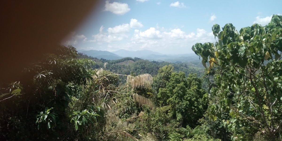
At around 1.5 hours in, you reach the KL View checkpoint. On a clear day, you can pick out Ampang and KL from here — genuinely rewarding after the effort to get up. On a hazy or overcast day, you're looking at a wall of trees. That's Malaysia, that's fine. This is also around the point where some hikers start feeling the cumulative climb, so manage your energy and hydration here.

Checkpoint 3 — Batu Gobok (~2 hours from start)
Batu Gobok sits at roughly the 2-hour mark and is named for the large rock formations in this section. The rocks are a welcome visual break from the jungle monotony and a decent place to rest. Expect the trail to get steeper and more technical beyond this point. If there's been recent rain, this section and the stretch above it will be genuinely slippery — this is where the ropes come into play. Use them. No ego on steep muddy slopes.
Summit of Gunung Hitam (~3.5 hours from start)
Most reasonably fit hikers reach the summit in 3.5 to 4.5 hours from the start. The peak sits at 1,220m and the atmosphere is cool, forested, and quiet. Don't expect a sweeping panoramic viewpoint — the summit itself has limited formal viewing space. What you get instead is that satisfying cool forest air and the knowledge that you've just put 838m of elevation gain in your legs. Recent hikers describe the weather at the top as genuinely chilly, which after a sweaty climb is honestly a relief.

Descent & Safety
The descent is where knees earn their complaints. What felt like a manageable steep slope on the way up becomes a test of leg control going down, especially if the trail has softened from morning humidity or rain. Allow 2 hours minimum for the descent back to the trailhead — some groups take longer depending on fitness and conditions.
Real hazards on this trail — take these seriously:
- Steep sections up to 70 degrees — rope assistance required on some segments; don't attempt without using them
- Muddy and slippery footing — especially pronounced after rain; trail conditions can change fast
- No water on trail — if you run out, that's an emergency. Bring enough from the start (see What to Bring)
- Leeches — present throughout; wear long socks, gaiters, and apply salt or repellent
- Dense vegetation and mosquitoes — insect repellent is not optional
- River crossings — present on some route variants; wet feet mean blisters on the way back
If weather turns bad — rain, mist thickening, thunder in the distance — turn around. The steep sections become genuinely dangerous when wet. No summit is worth a serious fall. Start early (7:00 AM is the recommended window), and set yourself a turnaround time before you leave the trailhead. Stick to it.

What to Bring
- Water — 2 to 3 litres minimum per person. There are zero water points on this trail. This is non-negotiable. Some hikers carry a hydration bladder like the TAHAN TrailBladder 2L — keeps water accessible on steep sections without stopping to dig into your pack.
- Food and snacks — energy bars, dates, sandwiches. You're moving for 4–8+ hours; fuel accordingly.
- Trekking poles — genuinely useful on descents and slippery sections. The TAHAN 3-Section Foldable Hiking Stick V2 packs down when you need both hands free for rope sections, which on this trail you will.
- Hiking boots with grip — not trail runners, not sneakers. Proper ankle support and a sticky rubber sole for the muddy sections.
- Long socks or gaiters — leech defence is essential.
- Insect repellent — mosquitoes are thick in the lower jungle sections.
- Rain jacket or poncho — mountain weather changes fast.
- First aid basics — plasters, blister patches, and paracetamol at minimum.
- Headlamp with spare batteries — if your descent runs later than planned, you'll need it.
- Your permit — printed or on your phone, plus IC/passport.
- Emergency contact plan — tell someone where you're going and when you expect to be back.
If this is your first proper mountain hike or you want to sort your gear properly before committing, have a read through our hiking gear guide — it covers what's actually worth spending on and what you can skip.
FAQ
How hard is Gunung Hitam?
Hard. Ratings vary across sources from moderate to hard (roughly 6/10), which reflects genuine differences in route variants and individual fitness. What's consistent across all reports: the trail climbs steeply and continuously, with sections up to 70 degrees that require rope assistance. It's manageable for fit, experienced hikers. If you're new to jungle hiking or haven't done anything above 1,000m, build up first.
How long does Gunung Hitam take?
Most hikers report 4.5 to 8.5 hours total depending on fitness and which route variant they're doing. On the main trail, fit groups typically summit in 3.5 to 4.5 hours. Budget 2 hours for the descent. Start at 7:00 AM to give yourself full daylight buffer.
Do I need a permit for Gunung Hitam?
Yes. RM5 per person, applied for individually through the SEFOREST online portal at forestry.selangor.gov.my/permit/home. Apply at least 48 working hours before your hike — ideally a month ahead. Bring your permit and IC/passport on the day.
Is there water on the Gunung Hitam trail?
No. There are no water sources on the main trail. Bring 2 to 3 litres per person from the trailhead, minimum. This is one of the most important things to get right on this hike — running out of water on a steep jungle climb is a genuine emergency.
Camp Nearby?
Making a weekend of it? Hulu Langat has good options for camping the night before so you can start at 7:00 AM properly rested rather than doing a 5:00 AM drive from KL. Check out the Nature Escape Campsite, Hulu Langat — it's the closest base to the trailhead. If you want something a bit different, Templer Park Rainforest Retreat is worth a look. Or venture a bit further for Mori Leka Campsite, Serendah if you're planning a longer Selangor escape around the hike.
Trail conditions, permit updates, and hiking buddies for the weekend — all in one WhatsApp group. Just ask; someone was probably up there last week.
💬 Join the Hiking CommunityFree, one click. No spam — the occasional promo at most.
Mike has been camping across Malaysia for over 10 years — from jungle treks in Taman Negara to beach camps in Perhentian. He writes about it so you don't have to find out the hard way. Follow along on TAHAN Outdoor's blog for honest campsite reviews, every week.