Gunung Raya, Langkawi: A Hiker's Guide (2026)
Gunung Raya is the highest point on Langkawi island — 881 metres of primary rainforest, concrete stairs, and on a clear morning, views stretching all the way to Ko Tarutao in Thailand. For most visitors, Langkawi means duty-free shopping and beach resorts. But this mountain sits right in the middle of the island, and it rewards anyone willing to actually break a sweat.

There are two ways up: the Tangga Helang Seribu Kenangan staircase route (3.1 km, 4,287 concrete steps, 732 metres of elevation gain) or the paved Jalan Gunung Raya road (13 km, popular with cyclists and cars). This guide focuses on the stairs route — that's the one hikers come for. Fair warning though: AllTrails rates it hard, and rightly so. The steps are well-maintained and there are railings, but the incline hits 15–25% in sections with widely spaced steps that will work your legs. Don't let the word "steps" lull you into under-preparing.
It suits hikers who are reasonably fit and want a proper jungle hike with a payoff view — not a casual afternoon stroll. It's also a solid option if you're visiting Langkawi on holiday and want one real outdoor experience in between the cable cars and night markets.
Quick Facts
- Elevation: 881 m
- Distance (stairs route): 3.1 km one way
- Distance (road route): 13 km
- Elevation Gain (stairs route): 732 m
- Duration: 1.5–5 hours depending on fitness, route, and stops — most recreational hikers report 2.5–4 hours at a steady pace
- Difficulty: Hard (AllTrails); steps and railings make it manageable but the incline and elevation gain are real
- Permit: Not required
- Observation Tower Fee: RM 10 (D'Coconut Hill Resort at summit)
- Parking: Free at Lubuk Semilang car park
- Trailhead: Lubuk Semilang forest reserve, Jalan Gunung Raya junction with Jalan Ulu Melaka
- Best Time: November to March (dry season); start by 7–7:30am
Getting There & Parking
The trailhead is at Lubuk Semilang forest reserve car park, reached via the junction of Jalan Gunung Raya and Jalan Ulu Melaka. From Kuah town, the drive takes roughly 20–25 minutes — most people on Langkawi are renting a car or motorbike, which makes this easy. Parking is free and there are small huts and a water stream at the car park area. You'll see the staircase entrance (the Tangga Helang) clearly marked from the car park.
If you're driving up the road route instead, the same junction is your starting point — Jalan Gunung Raya is paved and in good condition all the way to the summit. Cyclists and motorbikes use this regularly. Just be aware of stray dogs and monkeys along the road.

Permits & Fees
Update (Aug 2026): JPSM's official register of hiking locations in permanent forest reserves lists Gunung Raya as requiring a forestry permit and a licensed Malim Gunung Perhutanan (MGP) guide. On-the-ground enforcement can differ from the official rule — confirm with the Langkawi District Forestry Office before you plan around it.
No permit is required to hike Gunung Raya. The trail through the Lubuk Semilang forest reserve is open to the public. Once you reach the summit area, the observation tower at D'Coconut Hill Resort charges RM 10 admission. Note that as of a July 2025 update, access to the absolute highest point is currently not possible — the situation may have changed by the time you read this, so don't assume either way.
Trail conditions and permit requirements change — always check with the local forestry office or park authority before you go. Or ask the TAHAN Hiking Community on WhatsApp — someone's usually been there that week. Checking a different gunung? Try our free permit checker — instant answer for 90+ Malaysian mountains.
The Trail: What to Expect
The staircase route is the hike. It's 4,287 concrete steps from base to where the trail meets the summit road, with railings throughout. That sounds reassuring, but the elevation gain of 732 metres over 3.1 km means this is consistently steep the whole way. Pace yourself early — burning out in the first third is a common mistake.
Lubuk Semilang Car Park to Little Gunung Raya
The trail starts at the car park and almost immediately you're climbing. The first two-thirds of the staircase fall under what hikers call "Little Gunung Raya" — it's the more accessible section with well-maintained steps and railings. Don't be deceived by how clean and structured this section feels. The incline is already real, and the steps are widely spaced in places, which means your legs are getting a workout from the first five minutes. The jungle closes in quickly and it's genuinely beautiful — over 400 tree and plant species in this forest, and the canopy is dense.

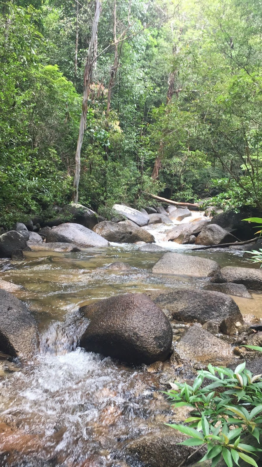
Along this section you'll pass several of the 7 wells and river pools along the route — great spots to cool off and catch your breath. Secure your bag from macaques. They are not shy. Don't leave food or loose items unattended.
'Boob Rock' Rest Point (Midpoint)
There's a distinctive rock formation at roughly the midpoint that hikers have taken to calling Boob Rock — you'll know it when you see it. It's a natural rest stop and a good checkpoint. If you're already seriously struggling here, it's worth honestly assessing whether to push on. The harder section is ahead.

Big Gunung Raya — Final Section
This is where the hike earns its "hard" rating. The final section is steeper, and depending on recent weather and maintenance, you may encounter overgrown vegetation across the path and more leeches — some hikers have described this final quarter as heavily infested. Don't skip leech socks. Dead leaves on the steps create genuinely slippery conditions. Watch your footing, especially if there's been rain. Tree trunks occasionally block the path and you'll need to clamber over or around them. This is not the place to be rushing.
Trail Meets Summit Road (793m Viewpoint)
The staircase tops out where it meets the summit access road at around 793m elevation. There are signboards here and a viewpoint. This is a meaningful milestone — the views start opening up and on a clear day you get a sense of what's waiting above. Take a proper break here before the final push.

D'Coconut Hill Resort and Summit (881m)
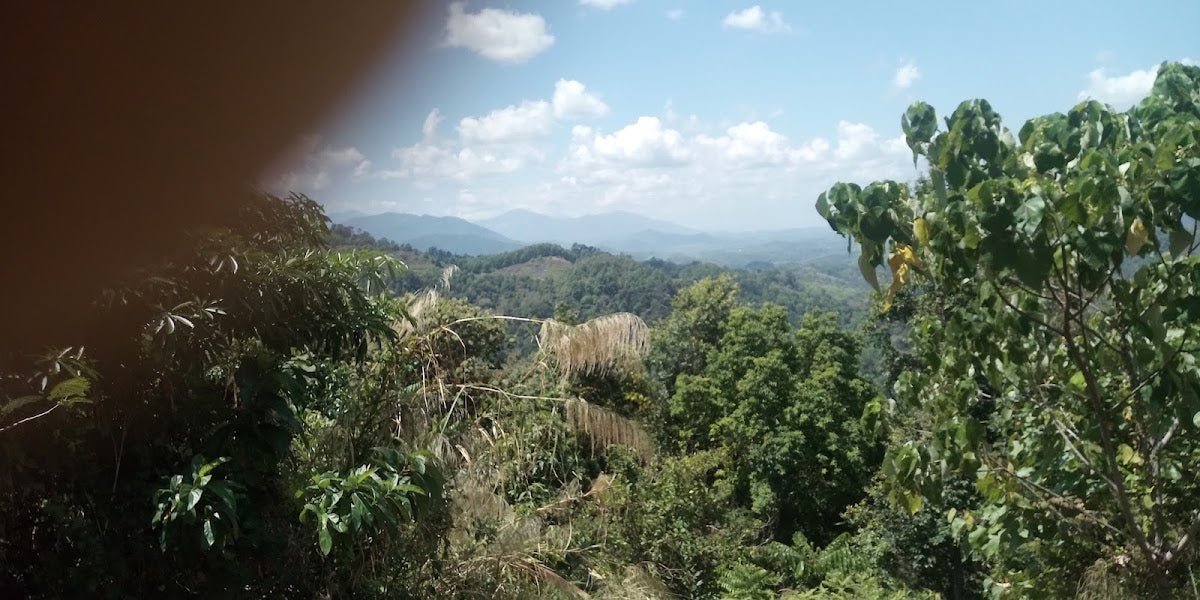
The summit at 881m has D'Coconut Hill Resort, an observation tower (RM 10), and a small park area. On a clear morning the 360-degree panoramic views are the real deal — the island below, the turquoise Andaman Sea, and Ko Tarutao in Thailand to the northwest. The jagged Gunung Mat Cincang ridge at 708m looks dramatic from up here. If you're lucky with the timing, mountain eagles and hornbills are a genuine possibility — Langkawi has over 230 recorded bird species and many are active early morning. Do not assume the summit restaurant or facilities are open and operational. Carry sufficient food and water regardless.

Descent & Safety
Descending the staircase is harder on the knees than the climb. The incline that pumped your legs on the way up now puts full weight through your knee joints on the way down. Take it slow. Wet or leaf-covered steps are slippery — use the railings. Some hikers choose to descend via the road instead of the staircase, which is a valid option and easier on the body.
Hazards to know before you go:
- Leeches: Present throughout, worse in the final quarter and after rain. Wear leech socks, tuck in your pants, and do leech checks at rest stops.
- Wild boars: Present in the forest. Don't feed, provoke, or approach them.
- Slippery steps: Dead leaves on concrete stairs are a serious slip hazard, especially on descent. Rain makes this significantly worse.
- Stray dogs: Noted on the road route and around the trail. Give them space.
- Monkeys: Will go for your food and loose items. Keep packs closed.
- Insects: Standard jungle — cover up, use repellent.
- Fog and vegetation: The summit can be socked in with fog, especially outside of dry season. Views are not guaranteed.
- Unexpected rain: Langkawi weather can change fast. If rain hits hard while you're on the upper section, the steps become a serious slip hazard. Turn around or wait it out under cover rather than rushing down wet stairs.
If the weather turns bad at any point, do not push on hoping it clears. The staircase in rain is dangerous. Turn back, wait, or descend via the road. No view is worth a fall on concrete stairs at altitude.
What to Bring
This is a serious tropical jungle hike with significant elevation gain. Pack accordingly:
- Water: Carry at least 1.5–2 litres minimum. There are river pools on route but don't rely on them as your primary source. Do not assume the summit restaurant is open. A TAHAN TrailBladder 2L Water Bladder keeps hydration hands-free and is exactly the kind of thing you want on a sustained stair climb like this.
- Leech socks: Non-negotiable for the stairs route.
- Trekking poles: The descent on steep concrete stairs is knee-punishing. The TAHAN 3-Section Foldable Hiking Stick V2 packs down small for the flight to Langkawi and earns its keep on the way down. See our hiking gear guide for more on choosing the right poles and knee support for hikes like this.
- Insect repellent: Jungle standard. Apply before you start.
- Snacks and lunch: Assume no food available at the top.
- Rain jacket or poncho: Weather moves fast in Langkawi. Pack one even if the morning looks perfect.
- Solid grip footwear: Trail shoes or hiking boots. Not sandals, not flat-soled sneakers.
- Dry bag or waterproof pack cover: Protect your electronics and dry clothes.
- Start time: Aim for 7–7:30am. Best light, clearest views, cooler temperatures, and you'll be well off the mountain before afternoon heat and weather build up.
FAQ
How hard is the Gunung Raya hike?
AllTrails rates it hard, and that's the honest answer for the staircase route. 732 metres of elevation gain over 3.1 km is steep by any standard, and the widely spaced steps and varying incline of 15–25% make it physically demanding. The railings and concrete steps mean it's not a technical scramble, but it will test your fitness. If you hike regularly and are reasonably fit, you'll manage. If this is your first real hike, prepare properly and don't underestimate it.
How long does it take to hike Gunung Raya?
This varies a lot. Reports range from 1.5 hours up for fast hikers to 4.5–5 hours for a relaxed pace with stops. A steady recreational pace typically puts you at 2.5–4 hours one way. Budget extra time if you plan to stop at the river pools or spend time at the summit. Descent via the stairs takes 30–40 minutes at a brisk pace, but take it slower if the steps are wet.
Do I need a permit for Gunung Raya?
No permit required. The trail is open to the public. The only fee is RM 10 at the observation tower at D'Coconut Hill Resort on the summit — that's entrance to the tower, not the trail.
Can I drive up Gunung Raya instead of hiking?
Yes. Jalan Gunung Raya is a paved road in good condition that goes up to the summit area. Cars, motorbikes, and cyclists all use it. It's 13 km from the junction. If you want the view without the hike, that's a legitimate option — just be aware of dogs and monkeys along the road, and note that the highest point is currently inaccessible.
Camp Nearby?
Making a weekend of it? Langkawi is best enjoyed with more than one day, and if you want to hit the 7–7:30am start for the best views and conditions on Gunung Raya, staying nearby the night before makes it much easier. If you're willing to cross over to the mainland, we've reviewed a few solid options in the region. Check out Nadi Glamping Suites, Penang for something comfortable on the Penang side. For a proper outdoor experience, Sedim Signature Campsite in Kedah is a great base. Or if you want something more off the beaten path in the region, read the KIF Campsite Baling review.
Trail conditions, permit updates, and hiking buddies for the weekend — all in one WhatsApp group. Just ask; someone was probably up there last week.
💬 Join the Hiking CommunityFree, one click. No spam — the occasional promo at most.
Mike has been camping across Malaysia for over 10 years — from jungle treks in Taman Negara to beach camps in Perhentian. He writes about it so you don't have to find out the hard way. Follow along on TAHAN Outdoor's blog for honest campsite reviews, every week.