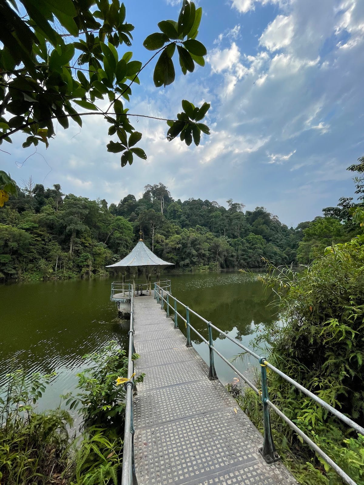
Bukit Batu Putih, Tanjung Tuan: A Hiker's Guide (2026)
Let's clear something up first — Bukit Batu Putih is widely searched online as "Bukit Batu Putih Selangor" or "Bukit Batu Putih PD," but the trail is actually in Malacca state, at Tanjung Tuan (Cape Rachado), about 20 km from Port Dickson town. It sits on a 200-million-year-old quartz ridge in a 60.7-hectare Wildlife and Bird Sanctuary gazetted since 1971. That mix-up matters because it affects permits and jurisdiction — more on that below.

This is a short, genuinely beautiful hike — a bare white quartz summit perched directly above the Strait of Malacca, a 16th-century lighthouse, a hidden cave, and two secluded beaches if you want them. At around 3.9–5 km depending on your route, it suits casual hikers, families with older kids, and anyone wanting a proper outdoor fix without a full day commitment. That said, don't let the short distance fool you — the summit scramble is real, and the beach route has a tidal hazard that demands respect.
It's also one of the best raptor-watching spots in Malaysia. During March and April, thousands of migratory raptors funnel through Tanjung Tuan on their way north — the Malaysian Nature Society runs its annual Raptor Watch event here. Even if birds aren't your thing, the Strait of Malacca views from the quartz summit with cargo ships passing below are genuinely something.
Quick Facts
- Summit elevation: ≈223 m (single source; treat as best estimate)
- Elevation gain: ≈169 m (AllTrails full loop)
- Distance: 3.9 km (forest loop) to ≈5 km (full loop with road walk)
- Duration: 1–2 hours for the loop; up to 2–4 hours with full beach and cave exploration
- Difficulty: Easy-to-moderate. Final summit scramble (≈5 m) requires caution
- Permit required: No advance permit needed
- Entrance fee: Reportedly RM1 at gate (verify on arrival — some sources report free entry)
- Opening hours: 7am–6pm daily (verify before you go — sources disagree)
- Guide required: No
- Not suitable for: Children under 6
Getting There & Parking
The trailhead is at the Tanjung Tuan Recreational Forest entrance gate, right across the road from PNB Ilham Resort. Punch "Tanjung Tuan Recreational Forest" or "Cape Rachado" into Google Maps or Waze — it's clearly marked. From Kuala Lumpur, budget about 1.5 hours by car.
There's no reliable public transport to the gate. If you're coming without a car, a taxi or Grab from Port Dickson town (roughly 20 km away) is your best bet. The gate area has a designated car park plus some street parking nearby, but it fills up fast on weekends. Arrive early — this is not a drill. Late arrivals end up parking further down and adding an unplanned road walk each way.

Permits & Fees
No advance permit is needed for Bukit Batu Putih. Because the trail falls under Malacca state jurisdiction, it is not subject to the Selangor SeForest permit system — so if you've been navigating those, you can skip it here.
Entrance fee at the gate is reportedly RM1 per person, though a couple of sources list it as free — there's genuine disagreement on this. Either way, bring small change. Opening hours are listed as 7am–6pm daily by the more authoritative hiking sources, though at least one source claims 8am–8pm. Plan around 7am–6pm to be safe, and don't count on doing a sunset hike — the gate likely closes before that.
Trail conditions and permit requirements change — always check with the local forestry office or park authority before you go. Checking a different gunung? Try our free permit checker — instant answer for 90+ Malaysian mountains. Or ask the TAHAN Hiking Community on WhatsApp — someone's usually been there that week.
The Trail: What to Expect
There are two main ways up — the forest route (faster, more direct) and the beach route via Monkey Bay (longer, more dramatic, tide-dependent). You can combine them into a full loop. Here's how it breaks down:

Stage 1: Entrance Gate to the Lighthouse Road
You start at the car park and immediately hit tarmac — a winding road that climbs toward Cape Rachado Lighthouse. This uphill road section is the most physically demanding part of the whole hike, which tells you something about the overall difficulty. It's shaded by trees so it's not brutal, but it's steep enough that you'll feel it. Pace yourself here rather than burning out before the interesting part starts.
Stage 2A: Forest Route to Summit (Faster Option)
About 30 metres before the lighthouse stairs, you'll spot the forest trail trailhead. Take it. After roughly five minutes the trail drops into proper jungle — cooler, quieter, and genuinely nice. Keep moving through the forest trail and watch for white quartz rocks starting to appear; that's your signal that the summit is close. Then comes the final scramble — a roughly 5-metre exposed climb up a jagged quartz rock crevasse. There's a rope available for descent. If the main crevasse looks sketchy to you, there's an alternate route around the left side of the outcrop. Don't rush this section. Wet quartz is slippery.

Stage 2B: Beach Route via Monkey Bay (Longer, More Dramatic)
Exit the tarmac road earlier and descend through forest toward Monkey Bay — a beautiful, largely deserted beach. This route takes around an hour and adds real character to the trip. The critical thing: this beach section is only passable at LOW TIDE. If you haven't checked tide tables before attempting this route, turn around. Strong currents make swimming or wading dangerous. Check tide times for Tanjung Tuan or the nearest Port Dickson station before you leave the house. From Monkey Bay, a steep jungle trail climbs up to the summit.
Stage 3: Summit
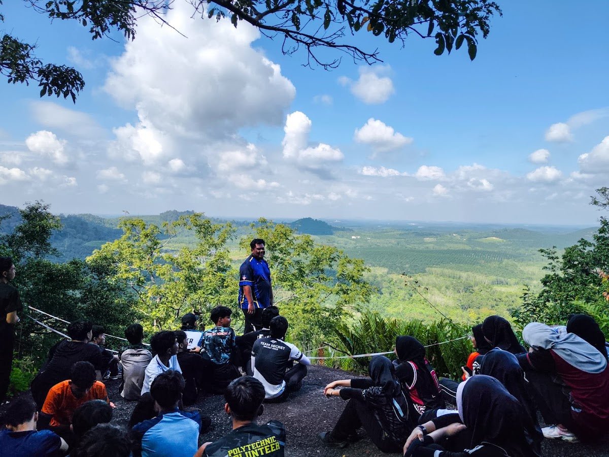
The summit is bare white quartz rock with unobstructed views straight over the Strait of Malacca. On a clear day you can watch ships passing below — with the jungle behind you and sea in front, it's the kind of view that makes a short hike punch well above its weight. As one regular visitor puts it, they come back every single weekend and still never get tired of it. That's a strong endorsement for a hike this accessible.

Stage 4: Full Loop — Cave, Pantai Keramat, and Back
If you're doing the full loop, continue from the summit down to the cave below the lighthouse. Historically, this cave is said to have been used by Portuguese and Dutch during their respective occupations — whether you're a history person or not, it's worth a look. From there, the trail continues down to Pantai Keramat, another secluded beach. Then it's back to the entrance gate. The full exploration — including beach routes and the cave — can stretch to 2–4 hours total.
Descent & Safety
The descent on the forest route is straightforward, but that quartz scramble section is more technical going down than up. Use the rope if it's there. Take your time. The rocks are genuinely sharp and unforgiving when wet.
Key hazards to know before you go:
- Slippery trail after rain: Multiple hikers flag this. Worn trail shoes are not appropriate here — wear proper hiking footwear with grip.
- Steep tarmac road at the start: Not technical, but steep enough to be a hazard on the way down if you're moving fast.
- Summit quartz scramble: ≈5 m exposed climb. Rope available for descent. Not suitable for very young children or anyone uncomfortable with heights.
- Beach route tidal hazard: LOW TIDE ONLY. This is non-negotiable. Strong currents — do not swim or wade.
- No water on trail: There are no water points once you're past the entrance. Dehydration risk is real, especially on a hot day.
- Weekend congestion: The summit area is small. Weekends can get genuinely crowded — be patient with each other on the narrow sections, especially the quartz scramble.
- Gate closing time: Plan your start time so you're back before 6pm. Don't get caught on trail after gate closing.
If it's raining heavily or the trail is very wet, the quartz scramble becomes significantly more dangerous. There's no shame in turning back at that point — the beach route in particular should not be attempted in questionable weather or on a rising tide.

What to Bring
This is a short hike but the quartz scramble, heat, and lack of water on trail mean you can't go completely casual. Here's what actually matters for Bukit Batu Putih:
- Water — enough of it: No sources on trail. For a 1.5–2 hour loop in Malaysian heat, minimum 1.5 litres per person. A hydration bladder keeps your hands free for the scramble — the TAHAN TrailBladder 2L fits most backpacks and is worth it for the convenience alone.
- Proper hiking shoes: Grip is everything on wet quartz. Trail runners or hiking shoes with actual tread. Not Converse, not slippers.
- Trekking poles (optional but useful): Not necessary for most people on this trail, but if you have knee issues, the steep road section and scramble descent will appreciate the support. The TAHAN 3-Section Foldable Hiking Stick V2 folds small enough to clip to your pack when you don't need it. Check out our hiking gear guide if you're unsure what to look for.
- Sun protection: The summit is completely exposed. Hat, sunscreen, sunglasses.
- Light snacks: There's reportedly a drink stall near the entrance but it may not be open early morning. Bring your own.
- Tide table: If you're attempting the beach route, print or screenshot the tide times before you lose signal.
- Small change: For the entrance fee (reportedly RM1).
- Dry bag or waterproof cover: If rain is possible, protect your phone and documents.
FAQ
How hard is Bukit Batu Putih?
Easy-to-moderate overall. The winding tarmac road at the start is the most physically tiring part, and the final quartz rock scramble (about 5 metres) is the only technically demanding section. Most reasonably fit adults handle it fine. That said, it's not suitable for children under 6, and anyone uncomfortable with exposed climbing should take the alternate left-side route at the summit. Wet conditions make the quartz significantly more dangerous.
How long does the hike take?
The forest loop alone takes most people 1–2 hours. If you're doing the full loop including the beach route, cave, and Pantai Keramat, budget 2–4 hours. The forest-route-only ascent is around 35–40 minutes one way. Given the gate closes at 6pm (per the more reliable sources), plan your start time accordingly.
Do I need a permit for Bukit Batu Putih?
No advance permit required. The trail is under Malacca state jurisdiction, so the Selangor SeForest permit system does not apply here despite what some online listings suggest. Pay the entrance fee (reportedly RM1, though verify at the gate) and you're good to go.
Is Bukit Batu Putih in Selangor or Malacca?
Malacca, administratively — even though it's often searched and marketed as "Bukit Batu Putih Selangor" due to its proximity to Port Dickson. The trailhead is at Tanjung Tuan (Cape Rachado) in Malacca state. This matters for permit purposes — you don't need a SeForest (Selangor) permit here.
Camp Nearby?
Making a weekend of it? Bukit Batu Putih itself doesn't have camping on-site, and the gate closes at 6pm — so it's a day hike only. But if you're driving up from KL and want to combine it with a camping trip, there are solid options closer to home worth knowing about. Check out our reviews of Templer Park Rainforest Retreat for something with serious jungle character, or Mori Leka Campsite, Serendah and Nature Escape Campsite, Hulu Langat if you're based north of KL and want to build a proper outdoor weekend around the drive.
Trail conditions, permit updates, and hiking buddies for the weekend — all in one WhatsApp group. Just ask; someone was probably up there last week.
💬 Join the Hiking CommunityFree, one click. No spam — the occasional promo at most.
Gear tip: How to use a trekking pole (and set the height).
Mike has been camping across Malaysia for over 10 years — from jungle treks in Taman Negara to beach camps in Perhentian. He writes about it so you don't have to find out the hard way. Follow along on TAHAN Outdoor's blog for honest campsite reviews, every week.