Gunung Ulu Semangkok: A Hiker's Guide (2026)
Gunung Ulu Semangkok sits quietly near The Gap, tucked between Fraser Hill and the Titiwangsa range in Selangor. It's not a household name like Nuang or Kinabalu, but what it lacks in fame it makes up for in character — ridge walks, mossy forest at the summit, and sweeping views of Genting Highland, Fraser Hill, and the ranges beyond. This is the kind of hike that rewards people who do their homework.

Here's the honest part: this trail gets labelled "Easy" on some platforms. Ignore that. Field reports consistently describe steep scrambles, rope sections, slippery mud, and a descent notorious for getting hikers turned around for hours. Intermediate hikers in decent shape will manage it — beginners fresh off their first trail, probably not. Come prepared or come another day.
The mandatory permit and guide requirement (enforced since 1 February 2023) has kept crowds down, which means the trail is quieter than most. That's a good thing up here. You'll have the mossy forest near the summit mostly to yourself.
Quick Facts
- Summit elevation: 1,394m
- Elevation gain: 659m (up to 806m depending on route)
- Distance: 6.6 km out-and-back (4.1 miles)
- Duration: 3–3.5 hours one way; 5–7 hours round trip
- Difficulty: Moderate to Hard (marketed as Easy — do not be fooled)
- Permit required: Yes, compulsory
- Guide required: Yes, compulsory as of 1 February 2023
- Starting elevation: 863m at trailhead
Getting There & Parking
The trailhead is at The Gap, Selangor — the junction area between Kuala Kubu Bharu and Fraser Hill. You're looking for the abandoned resthouse area next to old wooden parking sheds on the main road. It's about 15 metres from the Gap Resthouse. The entrance is marked by a small A4 note — not exactly a grand welcome arch. Look for a barely-distinguishable break in the undergrowth. If you blink, you'll miss it.
Parking is roadside along the main road near the trailhead. There is no dedicated lot, so park carefully and don't block traffic. There are no facilities at the trailhead itself. The nearest public toilet is about 500m away — use it before you start, because that's your last chance.

Permits & Fees
A compulsory permit is required to hike Gunung Ulu Semangkok, and you must hike with a registered mountain guide. This has been enforced by the Selangor State Forestry Department since 1 February 2023 — no exceptions.
Apply online with Jabatan Perhutanan Negeri Selangor (Daerah Hulu Selangor) at least 2 days before your hike. Fees as of 2024: RM10 for Malaysians, RM30 for foreign hikers (previously RM5 in 2022 — fees have gone up, so confirm the current rate when you apply).
For guide arrangements, contact:
- Hulu Selangor Malim Association: 019-919 4471
- Selangor Forestry Mountain Guide Association: 018-974 1651
Trail conditions and permit requirements change — always check with the local forestry office or park authority before you go. Or ask the TAHAN Hiking Community on WhatsApp — someone's usually been there that week. Checking a different gunung? Try our free permit checker — instant answer for 90+ Malaysian mountains.
The Trail: What to Expect
The route is an out-and-back with several distinct stages. It's not a loop — you come back the same way, which matters because the descent has its own set of challenges. Your guide will lead the way, but knowing what's ahead helps you pace yourself properly.

Trailhead (863m) – First Push Through the Bamboo
From the roadside trailhead, the trail hits you immediately with a steep scramble through bamboo and thorny vegetation. No warm-up, no gentle forest walk to ease you in. Fallen bamboo across the trail is a regular obstacle — you're stepping over, ducking under, and pushing through from the start. This section sets the tone for the whole hike. If you're already huffing here, reconsider your pace for the rest of the climb.
Gunung Gap Summit (1,183m) – First Milestone
Most hikers reach Gunung Gap about 1 hour from the trailhead. This is a genuine rest point — catch your breath, have a snack, check in with your guide. The hard work isn't done yet, but this is your first confirmation that you're on track. Elevation here is 1,183m, so you've done a solid chunk of the climbing already.
Descent and Ridge Traverse Toward Ulu Tranum
After Gunung Gap, the trail drops before settling into a ridge traverse. Ridge walking sounds pleasant, and it mostly is — you get glimpses of the Titiwangsa range opening up around you. But the ridge has its exposed moments, and when the trail is wet, the mud makes every step deliberate. Don't rush this section.

Halfway Point (1,242m) and Ulu Tranum
The halfway point sits at 1,242m. Shortly after, you hit the Ulu Tranum viewpoint at 1,329m and then the Ulu Tranum peak itself at 1,332m — technically a summit, but a visually undistinguished one. The viewpoint before it is where the Titiwangsa panorama opens up properly. Genting Highland, Fraser Hill, Pine Tree Hill, Twin Peak — on a clear day, you can see them all laid out. Take the photo, but keep moving.
Ulu Semangkok Viewpoint (1,392m) – The False Peak
This is the one that catches people out. The viewpoint at 1,392m feels like the summit — good views, you're exhausted, surely this is it. It's not. This is the false peak. There's a small trail branching right here that leads down to a water source (the only confirmed water point on the route). If you need to top up, do it here. Then brace yourself for what's next.
Final Push to the Summit (1,394m)
After the false peak comes a steep slope down, then a sharp ascent to the actual summit. Only 2 metres higher than the false peak on paper, but those final metres are the most demanding of the day. The trail is narrow, steep, and depending on recent weather, potentially very slippery. Rope sections and tree branch climbing feature here. Take your time.

The reward at the top is real: a mini mossy forest with spongy ground underfoot, moss-covered overhangs, and a small shelter. A yellow cairn marks the peak. The summit is cold and windy — don't plan on sitting still for long without extra layers on.
Descent & Safety
Coming down Gunung Ulu Semangkok deserves its own section because the descent is where things go wrong. Hikers have reported getting lost for 3+ hours on the way down — confusing trails near the summit, disorientation on the ridge, wrong turns that all look plausible when you're tired. This is not a hike to attempt without your guide, and it's one reason the compulsory guide rule actually makes sense here.
The steep sections that were challenging going up are genuinely dangerous going down when wet. Mud, rope sections, exposed scrambles — all of these demand more care on descent than ascent. Don't rush because you want to beat the dark. Start early enough that you have daylight buffer.
Key hazards to take seriously:
- Steep terrain with rope sections and tree-branch climbing — both ways
- Fallen bamboo across trail — tripping hazard throughout
- Mud and slippery sections — significantly worse in or after rain
- Cold and wind at summit — chilling quickly if you stop moving without a windbreaker
- Bees — there's a documented incident of 30 bee stings on this trail. Not common, but real. Know what to do if you disturb a nest: move fast and move away.
- Navigation near summit — multiple hikers have become lost during descent. Stay with your guide.
If weather turns bad during the hike — heavy rain, low visibility, thunderstorm approaching — turn back. The trail becomes a different beast in the wet, and no summit view is worth a serious fall on slippery ropes.

What to Bring
This hike runs up to 7 hours round trip through demanding terrain at altitude. Pack accordingly.
- Water: Minimum 1 litre to start; there's one water source near the false peak but carry enough to not depend on it. A TAHAN TrailBladder 2L Water Bladder (RM69) keeps your hands free on the rope sections — genuinely useful on a trail like this.
- Windbreaker or light rain jacket: The summit is cold and windy. Non-negotiable. Bring it even if KL is hot when you leave.
- Hiking poles: The steep descents and muddy sections make trekking poles worth their weight. A collapsible pair like the TAHAN 3-Section Foldable Hiking Stick V2 (RM99) packs flat for the scramble sections and deploys when the trail opens up.
- Grip gloves: For the rope sections and tree-branch climbing near the summit.
- Snacks and lunch: You'll be out for 5–7 hours. Fuel yourself properly.
- First aid kit: Basic but complete — plasters, antiseptic, bandage.
- Headlamp: If your start time or pace puts you anywhere near dusk, you need one.
- Fully charged phone with offline maps downloaded: Even with a guide, know where you are.
- Permit confirmation: Have it on your phone, screenshot it, don't rely on signal at the trailhead.
Not sure what else to prep? Check out our hiking gear guide for a fuller breakdown on what's actually worth packing for Malaysian mountain trails.
FAQ
How hard is Gunung Ulu Semangkok?
Harder than advertised. Some platforms rate it Easy — that's misleading. The trail involves steep scrambles, rope sections, tree-branch climbing, and muddy descents. Most hikers who've done it describe it as Moderate to Hard. It's suitable for intermediate hikers who are comfortable with exposure and have some trail experience. If you've only done park walks and flat trails, this is not the right first mountain.
How long does it take to hike Gunung Ulu Semangkok?
Most hikers report 3–3.5 hours one way to the summit, and 5–7 hours for the full round trip including rest time. Factor in your fitness level and how long you spend at the top. Gunung Gap is about 1 hour from the trailhead. Allow for slower going on the descent — it's where people take longer than expected.
Do I need a permit and guide for Gunung Ulu Semangkok?
Yes to both, and this is not optional. The Selangor State Forestry Department made permits and registered mountain guides compulsory from 1 February 2023. Apply online with Jabatan Perhutanan Negeri Selangor (Daerah Hulu Selangor) at least 2 days in advance. For guides, contact the Hulu Selangor Malim Association at 019-919 4471 or the Selangor Forestry Mountain Guide Association at 018-974 1651. Step-by-step application guide: how to apply on SeForest.
Is there water on the trail?
There is one confirmed water source, accessible via a small descending trail to the right of the false peak near the summit (1,392m viewpoint). There are no other confirmed water points on the route. Carry at least 1 litre from the start and don't plan your hydration around finding water on trail.
Camp Nearby?
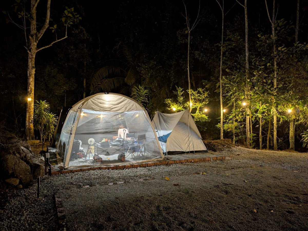
Making a weekend of it? The Gap area itself doesn't have camping infrastructure, but there are decent options within reach if you want to base yourself nearby and start the hike with fresh legs. Check out our reviews of Mori Leka Campsite, Serendah, Nature Escape Campsite, Hulu Langat, and Templer Park Rainforest Retreat for options in the Selangor region. Staying the night before means you can start early — and on a hike with a 7-hour round trip and a navigational reputation, an early start is not a suggestion, it's a plan.
Trail conditions, permit updates, and hiking buddies for the weekend — all in one WhatsApp group. Just ask; someone was probably up there last week.
💬 Join the Hiking CommunityFree, one click. No spam — the occasional promo at most.
Gear tip: Water bladder or bottle on a humid trail.
Mike has been camping across Malaysia for over 10 years — from jungle treks in Taman Negara to beach camps in Perhentian. He writes about it so you don't have to find out the hard way. Follow along on TAHAN Outdoor's blog for honest campsite reviews, every week.
⛺ Featured in: The 10 Best Hikes in Selangor (2026)