Gunung Brinchang: A Hiker's Guide (2026)
At 2,032 m, Gunung Brinchang is the highest point in Cameron Highlands — and one of the most distinctive mountains in Peninsular Malaysia. This isn't a brutal suffer-fest like Gunung Nuang or a technical scramble like Gunung Gayong. What makes Brinchang special is the ecosystem: the trail cuts through genuine montane mossy forest, and the summit sits inside a cloud most mornings. Pitcher plants, wild orchids, primitive ferns, and a permanent chill in the air. It earns its reputation.

That said, don't let the Cameron Highlands tourist-town vibe fool you into thinking this is a casual stroll. Trail 1 — the jungle route — has a steep, technical upper half with serious mud, poor markings, and a real track record of hikers getting lost. The Mossy Forest boardwalk is also currently closed (as of October 2025 due to landslide damage), so check the latest before you plan around it. This guide gives you the full picture.
Brinchang suits hikers who are reasonably fit and comfortable with slippery, rooted terrain. If you're bringing first-timers, the Gunung Brinchang Barat variant is described as more beginner-friendly. Either way, an early start is non-negotiable — the summit clouds in fast after mid-morning.
Quick Facts
- Summit elevation: 2,032 m (6,666 ft)
- Trail distance: Sources disagree — AllTrails records ~12.2 km out-and-back; other sources suggest ~8.6 km return. Expect somewhere in that range depending on your route variant.
- Elevation gain: Approximately 582–703 m depending on your start point
- Duration: Most hikers should budget 5–5.5 hours total (AllTrails). Fit hikers have done it in 2–3 hours; slower or less experienced hikers may need longer. Wide range — plan conservatively.
- Difficulty: Moderate. First half mostly flat; second half steep and technical.
- Permit required: Yes — jungle trail (Trail 1) requires a permit from Jabatan Perhutanan Pahang, RM 10–20 per person
- Guide required: Not officially compulsory for Trail 1, but strongly recommended. Guide required for Mossy Forest entry.
- Trail open: March–October (Trail 1 closed November–February during monsoon)
- Recommended start time: By 7:00 AM
Getting There & Parking
Brinchang town is about 15 km north of Tanah Rata by road. The New Trail 1 trailhead starts just north of Brinchang town, near the original trailhead behind the McDonald's — yes, that McDonald's. Hard to miss.
Important: self-driving to the Mossy Forest or summit area is not permitted. There's a checkpoint on the road where only registered jeep taxis are allowed through. If you're driving yourself, you go as far as the checkpoint and arrange a jeep from there, or you hike Trail 1. Don't show up assuming you can drive to the top — you can't.
Parking near the Brinchang Telecom Tower area runs approximately RM 5–10 (single source; verify when you arrive). No entrance fee to hike the mountain itself.

Permits & Fees
Trail 1 (the jungle trail) requires a permit from the Jabatan Perhutanan Pahang (Pahang State Forestry Department). The permit costs RM 10–20 per person, is quota-based, and must be paid in person at the Pahang Forestry District Office before your hiking date — one source says postal or bank draft is not accepted, though this may have changed. For the Gunung Brinchang Barat variant, the Pahang Forestry e-ecopark portal (forestry.pahang.gov.my/e-ecopark) has been confirmed as the booking channel.
The Mossy Forest boardwalk has had a separate entrance fee since March 2019. The exact current amount isn't confirmed — check before you go. A guide is also required to enter the Mossy Forest.
Guided nature walks at the summit area are available at approximately RM 30–50 per person (single source).
Trail conditions and permit requirements change — always check with the local forestry office or park authority before you go. Or ask the TAHAN Hiking Community on WhatsApp — someone's usually been there that week. Checking a different gunung? Try our free permit checker — instant answer for 90+ Malaysian mountains.
The Trail: What to Expect
The jungle trail (Trail 1) is the proper hiking route up Brinchang. Here's how it breaks down.

Start: New Trail 1 Trailhead, Brinchang Town
The trailhead sits just north of Brinchang town near the McDonald's. The original Trail 1 route to the summit is permanently closed — make sure you're starting from the correct New Trail 1 entry point. If in doubt, ask locally or check with your permit office the day before. Starting on the wrong trail wastes time and energy.
First Half: Flat-ish Jungle Walking
The first section of Trail 1 is primarily flat with a few inclines. It's dense jungle — cool, humid, atmospheric. This is where the montane forest starts to reveal itself. Enjoy the easier ground here because it doesn't last. Trail markings are inconsistent throughout, and a common mistake is following the river rather than the actual trail markers. Keep your eyes up and stay on the marked path. This is one of the main reasons a guide genuinely helps here.
Second Half: Steep, Technical, Muddy
The upper half is a different beast. Steep sections, exposed roots, and significant mud — especially after rain. Ropes are provided in certain areas, and you'll likely need them. Take your time. This is where hikers in casual footwear start having a bad day. Proper grip is essential.

Lookout Points on the Western Edge
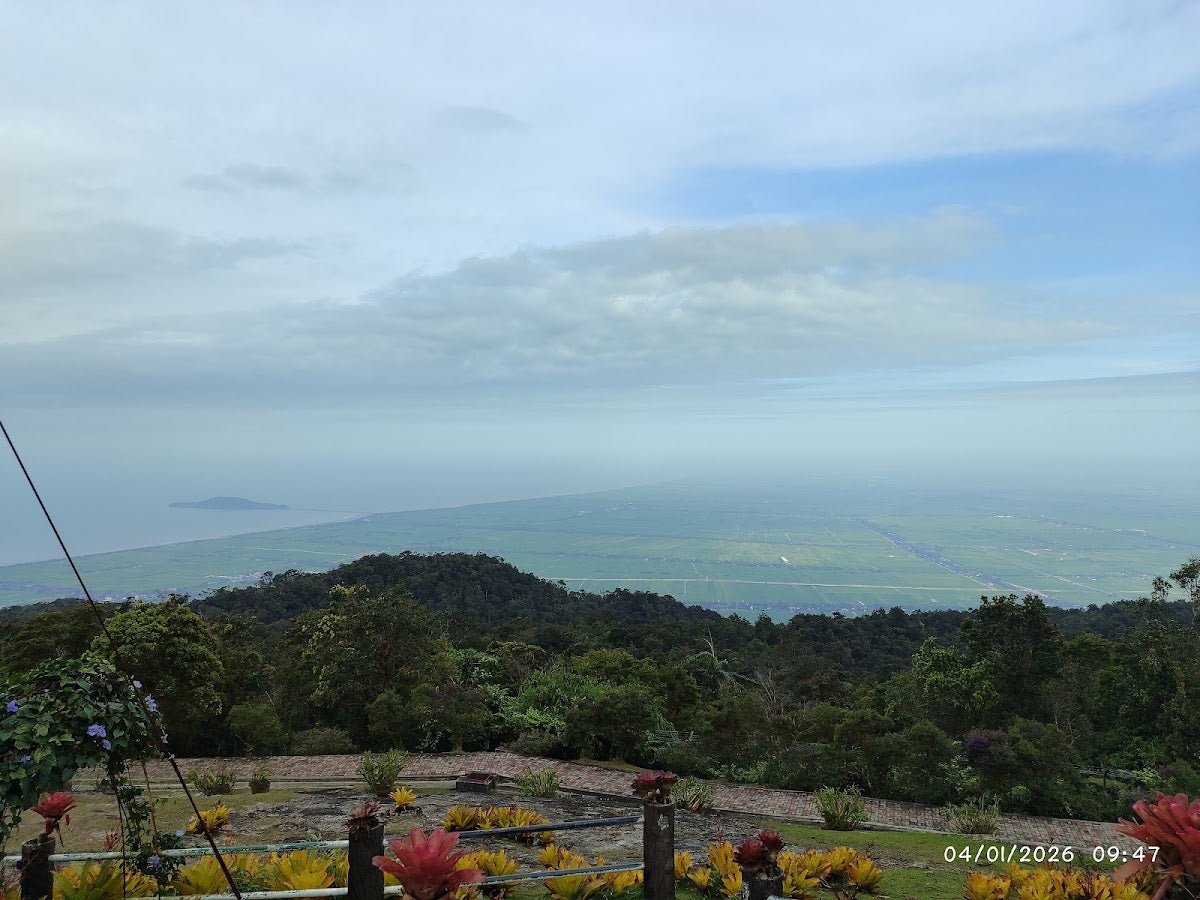
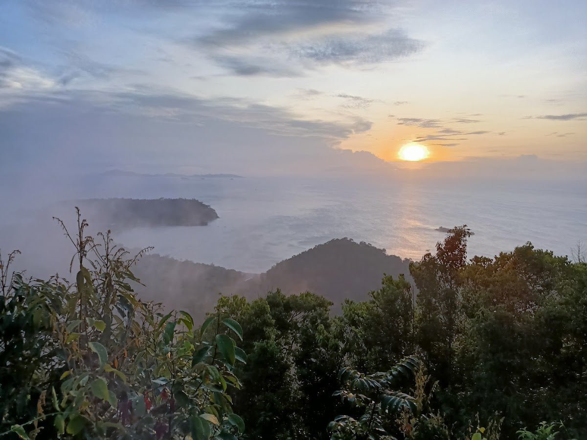
There are two lookout points on the western edge of the trail with views toward the Perak hills. Worth pausing at — especially on a clear morning before the mist rolls in. Don't count on clear views later in the day.
Mossy Forest Entrance
The Mossy Forest sits near the upper section of the trail. This is the highlight for most people — pitcher plants, wild orchids, ferns, mosses and lichens coating everything, the whole enchanted-forest experience. Entry requires both a permit and a guide. Note the active closure: as of October 2025, the Mossy Forest boardwalk is closed indefinitely due to landslide and heavy rain damage. One TripAdvisor review (date imprecise) mentions a short ~20-minute walk via a small road may still be accessible — but confirm this before planning around it. Do not assume it's open.

Summit: Observation Tower at 2,032 m
The summit hosts a telecommunications tower and an observation deck. On a clear day you get panoramic views across the Titiwangsa Range, tea plantations, and both Pahang and Perak states. The observation tower operates approximately 9:00 AM – 6:00 PM daily (single source). Temperature at the top sits around 15–25°C — bring a layer regardless of how warm it felt when you started.
Road Route Alternative (Jeep Taxi)
If you're not hiking Trail 1, registered jeep taxis can take you from the checkpoint up the paved road past the Sungai Palas BOH Tea Plantation junction to the Mossy Forest boardwalk and summit. Decent views of the tea plantation along the way. Note that there's SUV and truck traffic on this road (single source), and the single-lane road means vehicles going up should give way to those coming down. This is the access route if you're not a hiker — not the full mountain experience, but accessible.
Descent & Safety
Coming down the steep upper section is where knees and ankles take punishment — especially with wet mud underfoot. Take it slow. The TAHAN 3-Section Foldable Hiking Stick V2 earns its keep on descents like this — packed light enough to not bother you on the flat sections, genuinely useful when you need to arrest a slip on the upper half.
Key hazards to know before you go:
- Mud: Significant on the upper section of Trail 1, especially after rain. Not optional mud — the kind that eats shoes.
- Steep technical sections: Upper half requires care; ropes provided but don't rush them.
- Poor trail markings: Multiple sources confirm hikers have gotten lost. The river-following mistake is real. Stay on markers.
- Mist and fog: Common at altitude; can reduce visibility quickly. Don't get caught out above the treeline in heavy mist without knowing the route.
- Cold at summit: 15–25°C sounds comfortable but the windchill at the observation deck in a wet shirt after a climb is no joke. Bring a warm layer.
- Boardwalk closure: Active as of October 2025. Do not plan a trip specifically around the Mossy Forest boardwalk without confirming it's reopened.
- Monsoon closure: Trail 1 is closed November–February. Do not attempt during this period.
If bad weather rolls in — and in Cameron Highlands, it rolls in fast — turn around. Summit views in zero visibility aren't worth a slip on the upper section. There is no shame in retreating from Brinchang; the mountain stays there.

What to Bring
- Water: There are very limited water sources on Trail 1 — bring all the water you need. A single source mentions a water treatment facility near the trailhead area, but don't depend on it. For a mountain with this kind of elevation gain, a 2L hydration bladder is the practical choice — the TAHAN TrailBladder 2L keeps your hands free on the technical sections where you'll want them.
- Snacks: No food stalls on the trail. Pack enough for the duration.
- Proper hiking boots: With real grip. Mud on the upper section will test your footwear choices.
- Warm layer: The summit sits at 15–25°C. A light fleece or windbreaker is non-negotiable.
- Rain jacket: Cameron Highlands. Enough said.
- Gaiters or old trousers: Mud goes everywhere on the upper trail.
- Headlamp/torch: If your timing slips, you don't want to be on the upper section in the dark.
- Permit documents: Carry your permit from Jabatan Perhutanan Pahang.
- Guide contact: If you haven't arranged a guide, sort this before you go. Multiple sources confirm the trail is poorly marked enough that experienced Malaysian hikers have still gotten lost here.
For more on choosing the right gear for technical Malaysian hikes, check out our hiking gear guide — covers poles, knee support, and what to prioritise for jungle terrain.
FAQ
How hard is Gunung Brinchang?
Moderate overall, but with a genuinely difficult upper section. The first half of Trail 1 is mostly flat and manageable. The second half is steep, rooted, and very muddy — with ropes in some areas. It's not a beginner trail unless you take the Barat variant, which is described as more beginner-friendly. If you've done a few jungle hikes and know how to read your body, Trail 1 is doable. If this is your first jungle hike, go with a guide and manage your expectations on the upper section.
How long does Gunung Brinchang take?
Budget 5–5.5 hours for the full return trip — that's the most commonly cited figure (AllTrails). Fit, experienced hikers have done it faster; some sources cite 3–4 hours one way, and one account mentions under 2 hours one way at a fast solo pace. The wide range reflects different paces and route variants. Plan for the longer end and you won't be caught racing the afternoon clouds.
Do I need a permit to hike Gunung Brinchang?
Yes — Trail 1 (the jungle trail) requires a permit from Jabatan Perhutanan Pahang. It costs RM 10–20 per person, is quota-based, and has historically required in-person payment at the Pahang Forestry District Office before your hiking date. The Barat variant can be booked via the Pahang Forestry e-ecopark portal. Don't show up without sorting this in advance — trail quotas fill up, especially on weekends and school holidays.
Is the Mossy Forest open in 2026?
As of October 2025, the Mossy Forest boardwalk is closed indefinitely due to landslide and heavy rain damage. A limited access via a small road has been mentioned by one visitor, but this is unconfirmed and may change. Check the latest status with the Cameron Highlands forestry office or local tour operators before your trip — do not assume it's open when you arrive.
Camp Nearby?
Making a weekend of it? Brinchang rewards an early start, and staying the night before in Pahang puts you on the trailhead fresh. If you want to combine the highland hike with some proper camping in the region, the Janda Baik and Bentong areas have good options worth checking out: Woodstock Camp Janda Baik, Glamping Valley @ Janda Baik, and Camp Mantap, Bentong. None of these are in Cameron Highlands itself, but they're solid bases if you're making a broader Pahang highlands trip of it and want a campsite that's actually been reviewed honestly.
Trail conditions, permit updates, and hiking buddies for the weekend — all in one WhatsApp group. Just ask; someone was probably up there last week.
💬 Join the Hiking CommunityFree, one click. No spam — the occasional promo at most.
Gear tip: How to use a trekking pole (and set the height).
Mike has been camping across Malaysia for over 10 years — from jungle treks in Taman Negara to beach camps in Perhentian. He writes about it so you don't have to find out the hard way. Follow along on TAHAN Outdoor's blog for honest campsite reviews, every week.