Bukit Beruang, Melaka: A Hiker's Guide (2026)
Bukit Beruang is Melaka's neighbourhood hill — the kind of place locals lace up before work, families bring kids on weekend mornings, and serious hikers use to sharpen their legs before bigger expeditions. At 116.3 m above sea level, nobody's coming here chasing altitude records. What keeps people coming back is the variety: you can pick an easy 1.3 km stroll or string together a proper 5 km loop that'll work up a genuine sweat. Same hill, very different experiences depending on the route you choose.

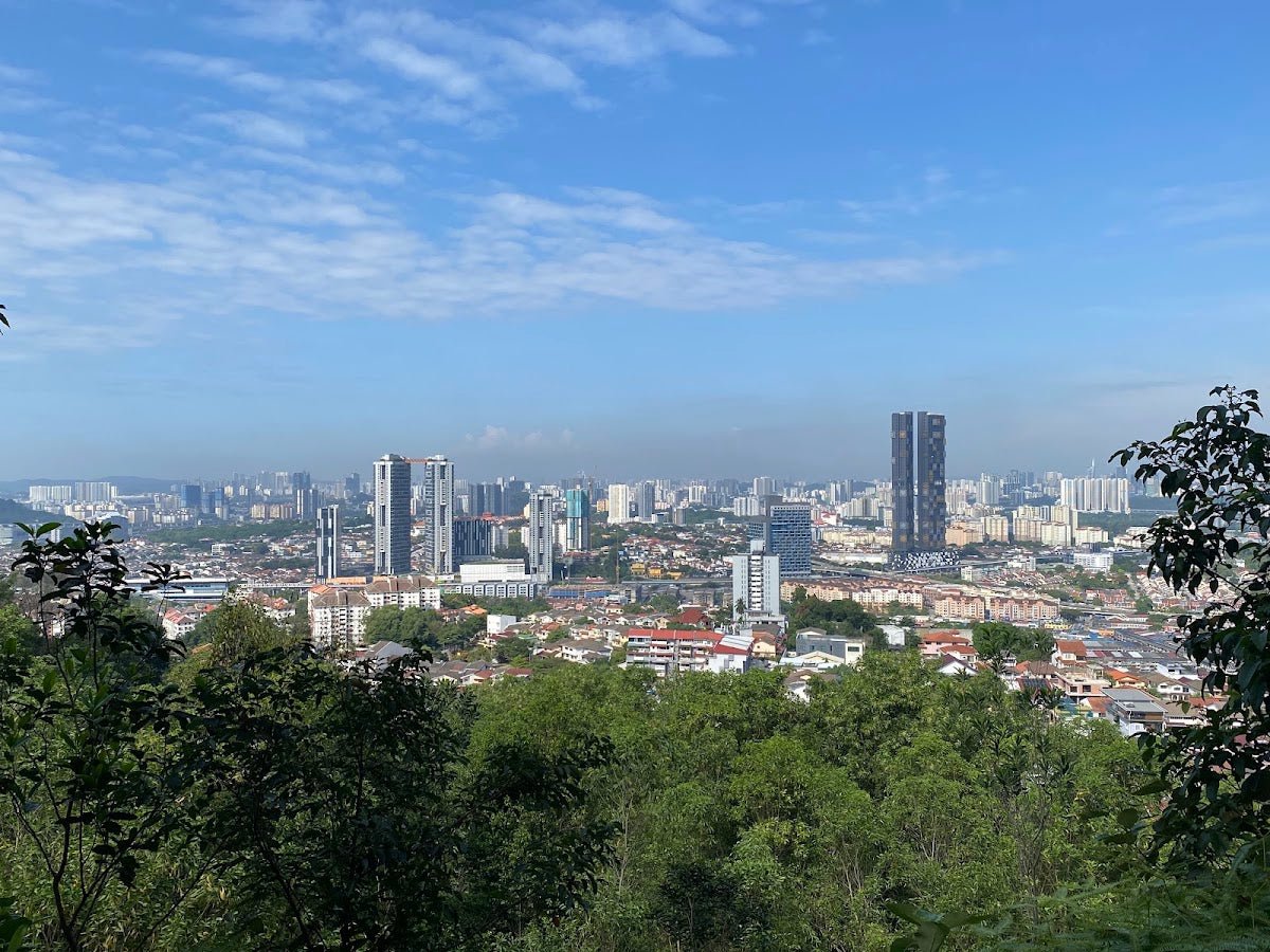
Don't let the low summit fool you. The trail network here is genuinely maze-like — multiple branches, confusing checkpoints, and rope-assisted scrambles on the harder routes. Hikers have gotten disoriented on those branches before. One regular hiker with over 10 years on this hill puts it plainly: don't underestimate any hill as a hiker, and if you don't know how to read a GPX file, don't simply enter any branch trail. That's good advice for Bukit Beruang specifically. The reward at the top — a 180-degree panoramic view stretching across the Melaka Strait from Tanjung Kling in the north to Teluk Mas in the south — is genuinely worth the climb.
This hill suits beginners wanting a proper introduction to trail hiking, families with children aged 7 and above, and fitter hikers who want a solid conditioning session without driving hours from the city. If you're training for Mount Kinabalu or something bigger in Indonesia, the longer loop here is a legitimate prep route.
Quick Facts
- Summit elevation: 116.3 m
- Elevation gain: 86–277 m depending on route
- Distance: 0.8–5 km depending on route (Wonderful Trail 1.3 km, Telekom Trail 2.6 km, main loop 3.86 km, full 5 km loop)
- Duration: 0.5–3 hours depending on route
- Difficulty: Moderate overall; easier routes available for beginners and families
- Permit required: No
- Guide required: Not mandatory, but strongly recommended if you're unfamiliar with the trail network
Getting There & Parking
The main trailhead is at Jalan Teratai 3, Taman Bunga Raya, 75450 Melaka (GPS: 2.242127, 102.280018). Plug that into Waze or Google Maps and you'll get there without drama. There are also alternative access points from Taman Muzaffar Shah and from the area near Bukit Beruang school, so if you're linking routes or doing a point-to-point, those are useful to know.
There's a car park at the main trailhead. On weekdays it's fine. On weekend mornings — especially public holidays — it fills up fast. Come early or be prepared to park along the road and walk in. This is a popular local hill, not a remote wilderness trailhead.

Permits & Fees
No permit required, no entry fee. You just show up and hike. A guide is not mandatory either, though given how confusing the trail network gets at certain checkpoints, hiring a local guide the first time is money well spent — especially if you're planning to tackle the longer loop or any of the more technical branches. There have been incidents from hikers taking wrong branches, so this isn't just bureaucratic advice.
Trail conditions and permit requirements change — always check with the local forestry office or park authority before you go. Or ask the TAHAN Hiking Community on WhatsApp — someone's usually been there that week. Checking a different gunung? Try our free permit checker — instant answer for 90+ Malaysian mountains.
The Trail: What to Expect
There's no single "standard" route on Bukit Beruang — that's both the appeal and the complication. The stages below follow the main loop through the key checkpoints. Pick your route based on your fitness and how much time you have, but understand the full network before branching off.

Trailhead
Start at Jalan Teratai 3. The trailhead is reasonably well-marked. Get your bearings here before you go in — note which trail you're taking and have it loaded on your phone. Mobile signal varies once you're deeper in the forest.
Wild Boar Trail
Early in the route you'll pass through the Wild Boar Trail section — dense jungle, native ferns, bamboo groves. Good shade. The terrain starts relatively easy here but begins climbing. Keep your eyes up: macaques are common in the canopy. Don't carry exposed plastic bags and don't feed them. They're generally unbothered by hikers, but give them reasons to be otherwise and they will be.
CP0–CP1 (Telekom Way / Tarred Path)
This stretch via the tarred path is the gentler, more beginner-friendly section that many families use. If you're bringing kids or this is your first time on the hill, the CP0–CP1 route is the right call — fewer steep climbs, manageable terrain. Elevation gain on this path is around 86 m, which is honest work without being punishing.
Telekom Tower
The Telekom Malaysia facility sits near the peak. Not a scenic highlight in itself, but it's a useful landmark confirming you're near the top. The trail network radiates outward from this area, which is also where route confusion tends to peak — multiple branches look plausible. Stick to your planned route here.

Puncak Laksamana
This is the summit proper. Puncak Laksamana is where the views open up — that 180-degree panorama across the Melaka Strait. On a clear morning you can see coastline from Tanjung Kling all the way south to Teluk Mas. Worth every step of the climb. This is your main reward. Sit here, catch your breath, take your photos.
Love Stone
A notable landmark on the trail that hikers use as a waypoint. Good for a breather and orientation check.
CP2, CP3, CP4
The checkpoint sequence through the mid-section of the longer loop. These are where trail branches multiply and hikers have historically gotten confused or taken wrong turns. At each checkpoint, confirm your route before proceeding. If you're unsure, backtrack to the last clear marker rather than guessing. There are rope-assisted sections in this part of the trail on steeper approaches — use the ropes, they're there for a reason.
Wonderful Garden
A more sheltered, forested section that gives the Wonderful Trail its name. This is where you'll see pitcher plants if you're looking — take a moment, they're worth spotting. Birdlife is active here in the mornings. The Wonderful Trail variant (1.3 km, 0.5–1 hour) joins the network at this area and is the gentlest option on the hill.

Rock Scramble Option to Peak Boulder
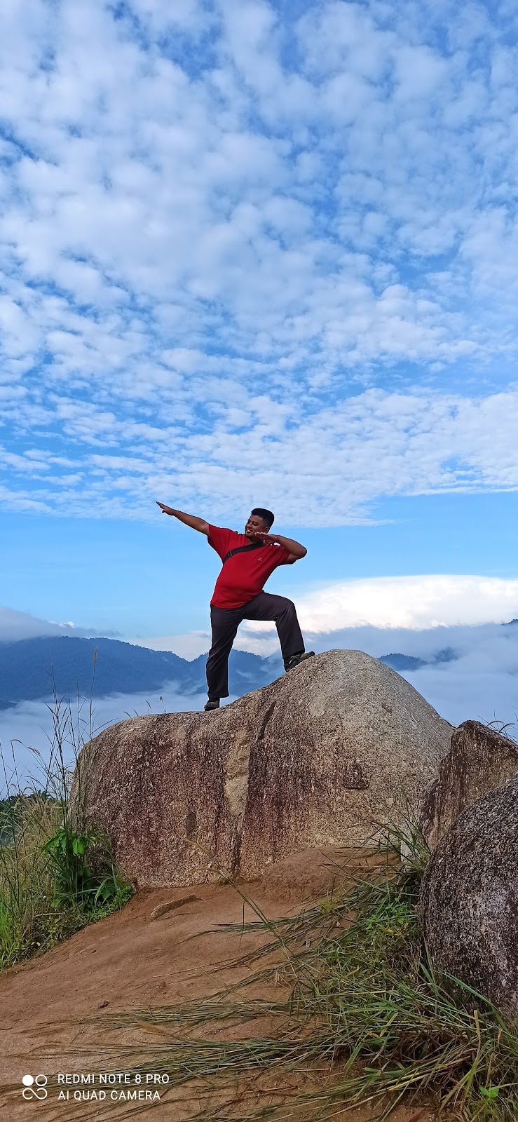
Near the summit there's a large peak boulder with an optional scramble to the top for an elevated vantage point above the treeline. This is optional — assess the conditions before committing. When dry, it's manageable. After rain, the rock gets slippery and it's not worth the risk. Use your judgment.
Trailhead Return
The descent back to Jalan Teratai 3 completes the loop. Total time for the full 5 km loop is typically 1.5–3 hours. Pace yourself on the way down — the descent can be as demanding as the climb on some sections.
Descent & Safety

The descent on Bukit Beruang's steeper routes is where most minor incidents happen. Knees take the load on the way down, and some sections are steep enough that tired legs become a genuine hazard. Take it steady, especially after the rock scramble section.
Key hazards to keep in mind:
- Slippery trails after rain: Several sections, particularly near the boulder and rope-assisted areas, become genuinely dangerous when wet. If it's been raining, seriously reconsider tackling the harder routes.
- Trail confusion: Multiple independent sources flag this as the number one issue on Bukit Beruang. Branches look similar. Download a GPX track or hike with someone who knows the route.
- Steep climbs requiring adequate water: No documented water points on the trail — bring everything you need from the trailhead.
- Rope-assisted sections: Use both hands. Don't rush these.
- Macaques: Keep food packed away and don't make sudden movements around them.
If weather turns bad mid-hike — heavy rain, reduced visibility — turn back. This isn't a mountain where you push through bad conditions. The trails drain poorly in downpours and the rock scramble becomes a slip hazard fast.
What to Bring
Bukit Beruang is a short hike, but the heat and humidity of Melaka mean you'll sweat more than the distance suggests. Pack accordingly:
- Water: Minimum 1.5 litres per person. There are no water points on trail. For longer routes, bring more. A hydration bladder setup keeps your hands free — the TAHAN TrailBladder 2L Water Bladder is a clean, no-fuss option that fits most hiking packs.
- Footwear: Trail shoes or hiking shoes with grip. Not sandals, not flat sneakers — especially if you're doing any route beyond the Wonderful Trail.
- Clothing: Light, moisture-wicking. Long pants are worth considering for jungle sections with low scrub.
- Trekking poles: On the steeper descents and rope sections, poles make a real difference for stability and knee protection. The TAHAN 3-Section Foldable Hiking Stick V2 packs down compact enough that you can carry it in a day bag and deploy it when the trail demands it.
- Snacks: Energy bar, banana, whatever you like. Pack out your rubbish.
- First aid basics: Plasters, antiseptic. Nothing dramatic, but cuts happen on jungle trails.
- Power bank and fully charged phone: You'll want a map app running. Signal isn't guaranteed throughout.
- Insect repellent: Standard jungle trail, standard bugs.
For a broader look at what's worth carrying on Malaysian trails, check out our hiking gear guide — it covers poles, knee support, and what actually holds up in local conditions.
FAQ
How hard is the Bukit Beruang hike?
Depends entirely on which route you take. The Wonderful Trail (1.3 km, 86 m elevation gain) is beginner-friendly — manageable for kids 7 and above. The Telekom Trail (2.6 km, 144 m gain) is a solid moderate hike. The longer 5 km loop with 277 m of elevation gain is properly demanding for a hill this size, with rope sections and steep climbs. The overall consensus across multiple sources rates the hill as Moderate, but pick your route and that rating shifts significantly.
How long does it take to hike Bukit Beruang?
Anywhere from 30 minutes to 3 hours depending on your route and pace. Wonderful Trail: 0.5–1 hour. Telekom Trail: 1–1.5 hours. Main loop: 1.5–3 hours. These are return times. Factor in rest stops and photo time at the summit viewpoint.
Do I need a permit to hike Bukit Beruang?
No permit required, no entry fee. Just show up. That said, if you're new to the trail network, consider hiring a local guide for your first visit — the multiple branches and confusing checkpoints have caught out hikers before, and it's not worth navigating blind.
Is Bukit Beruang suitable for families with young children?
Yes, on the right route. The CP0–CP1 section and Wonderful Trail are considered appropriate for children aged 7 and above. Stick to those routes with kids, bring enough water for everyone, and avoid the rock scramble and rope sections with young hikers in tow.
Camp Nearby?
Bukit Beruang is a half-day trip at most, so most people drive in from Melaka town and head home after. But if you're making a weekend of it in Melaka — or want to overnight before an early morning hike — there are some decent options nearby. Check out The Coco Journey Glamping, Melaka for a comfortable glamping setup, Campsite Ayong Deen, Melaka for a more traditional campsite experience, or Beach N Breeze Glamping, Melaka if you want coastal air after a sweaty morning on the hill. All three are our reviewed options in the state.
Trail conditions, permit updates, and hiking buddies for the weekend — all in one WhatsApp group. Just ask; someone was probably up there last week.
💬 Join the Hiking CommunityFree, one click. No spam — the occasional promo at most.
Gear tip: How to use a trekking pole (and set the height).
Mike has been camping across Malaysia for over 10 years — from jungle treks in Taman Negara to beach camps in Perhentian. He writes about it so you don't have to find out the hard way. Follow along on TAHAN Outdoor's blog for honest campsite reviews, every week.