Gunung Singai: A Hiker's Guide (2026)
Gunung Singai isn't your typical Malaysian hiking destination — and that's exactly what makes it special. This 562 m peak in Bau, Sarawak carries centuries of Bidayuh heritage, a Catholic pilgrimage church that's been standing since the 1890s, and a 30-foot Christ the King statue that was only blessed in January 2024. You're hiking through living history here, not just jungle.

At 4.3 km out-and-back with about 648–650 m of elevation gain packed into a short distance, don't let the numbers fool you into thinking this is casual. AllTrails and Malaysia-Traveller both rate it Hard/Challenging — and the rope-assisted sections above the church will remind you why. That said, on a normal weekend you'll find over 100 hikers on this trail. It draws a real mix: pilgrims walking the 13 Stations of the Cross, birders with binoculars, families stopping at the church, and proper hikers pushing all the way to the boulder-marked summit. Know which one you are before you start.
It's about 40 minutes' drive from Kuching — close enough for a morning trip, rewarding enough to justify the early alarm. If you're Kuching-based or passing through Sarawak, Gunung Singai deserves a spot on your list.
Quick Facts
- Elevation: 562 m above sea level
- Elevation Gain: 648–650 m
- Distance: 4.3 km out-and-back
- Typical Duration: 3–3.5 hours total
- Difficulty: Hard / Challenging
- Permit Required: No
- Trailhead: Catholic Memorial and Pilgrimage Centre, Jalan CMPC Kampung Tanjong Bowang Singai, Bau, Sarawak
- From Kuching: Approximately 25 km, 40 minutes' drive southwest
Getting There & Parking
The trailhead is at the Catholic Memorial and Pilgrimage Centre in Kampung Tanjong Bowang Singai, Bau — about 25 km southwest of Kuching city, roughly 40 minutes by car. The road is accessible by regular vehicle; just punch the centre's name into Waze or Google Maps and you should be fine.
Parking is the tricky part. Space at the mountain base is very limited. There's a private parking area next to a house that charges MYR 3 per entry — but the owner lives nearby and you'll need to find them for permission before you park. Don't just leave your car and vanish up the trail. On busy weekends when 100-plus hikers show up, parking gets chaotic fast. Go early, be patient, and treat the local residents respectfully — this is their home.

Permits & Fees
No hiking permit is required for Gunung Singai. On fees: a 2016 source cited an RM10 entrance fee, but multiple recent sources from 2024–2025 indicate no fee is currently charged. One small thing — toilet access costs 30 sen, so keep some coins in your pocket. Trail conditions and permit requirements change — always check with the local forestry office or park authority before you go.
The Trail: What to Expect
The route to the summit is split into clear stages. Elevation gain is steep and relentless once you leave the church area — this is not a gradual climb. Here's what you're walking into.
Base to Catholic Memorial & Pilgrimage Centre (approx. 30 min | 228 m gain)
The trail begins on wooden stairs lined with the 13 Stations of the Cross — a pilgrimage route that's been walked for well over a century. It's a meaningful walk even if you're not Catholic. The stairs are well-worn and shaded, but the first 15 minutes feature narrow, slippery wooden steps that have caught out more than a few hikers who underestimated them. Take it steady, especially if it's been raining. The Christ the King statue — 30 feet tall, 40 tonnes, the largest in Sarawak — stands near the church and is worth pausing at. The church itself has been here since the 1890s.

Church to View Point (approx. 10 min from base | 191 m)
A short push from the church area gets you to a viewpoint. Nothing to write home about yet, but a good spot to catch your breath and gauge whether conditions look clear above. If it's murky up here, the summit view will likely disappoint.
Church to Twin Trees Checkpoint (approx. 42 min from base | 302 m)
This is where the jungle trek proper begins. The trail gets steeper and the terrain shifts — tree roots become your steps and the ground gets muddier as you go higher. Watch your footing. Mosquitoes are active through this section, so if you came in shorts and a t-shirt, you'll be paying for that decision right about now. Long sleeves and pants are the right call on Gunung Singai.

Twin Trees to Rest Stop (approx. 1 hour from base | 394 m)
A defined rest area on the way up — take the break, top up water if you have a filter, and check in with your group. The trail is consistent work by this point. There's a waterfall accessible on the trail if you need a refresh; hikers who've done the full route in heat will tell you it's very welcome. Keep an eye (and ear) out for birds through here — UNIMAS research has documented real biodiversity on Singai, and the birdwatching is genuinely excellent if you slow down enough to notice.
Rest Stop to Summit (approx. 1 hour 45 min from base | 518 m recorded; summit at 562 m)
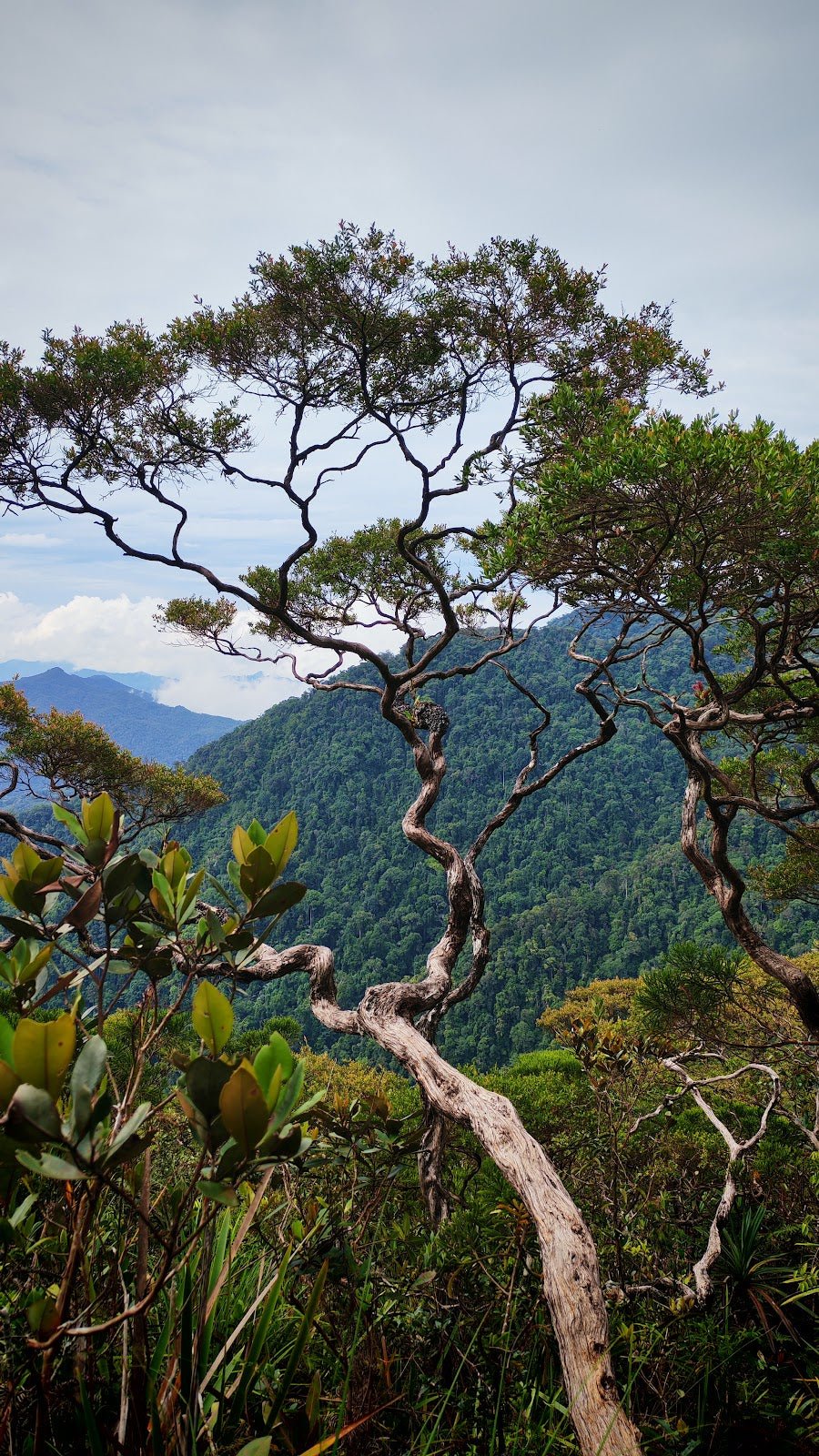
The final push is the hardest. Rope-assisted sections on steep, muddy trail — you will be using the knotted ropes to haul yourself up. This isn't scrambling for drama's sake; without the ropes, some of these pitches would be genuinely dangerous when wet. Tree roots help where the ropes don't reach. You'll know you've hit the summit when you see the big rock boulder. The panoramic view of surrounding forest and mountains is the payoff — on a clear day, it's worth every muddy metre.

One thing nobody tells first-timers: there are crabs at the summit. Yes, actual crabs. Sarawak is full of surprises. Don't stick your hand into crevices around the summit rocks without checking first.
Descent & Safety
Coming down Gunung Singai takes concentration. The steep muddy sections that required rope on the way up are just as demanding on the descent — arguably more so, because tired legs and gravity are working against you. Control your speed on the roped pitches. The narrow wooden steps near the base get slippery again on the way down, especially if afternoon rain has moved in.

Key hazards to take seriously:
- Slippery wooden steps in the first and last 15 minutes of hiking
- Steep muddy trail above the church requiring rope use — not optional on wet days
- Mosquitoes and red ants — wear long sleeves and long pants, no exceptions
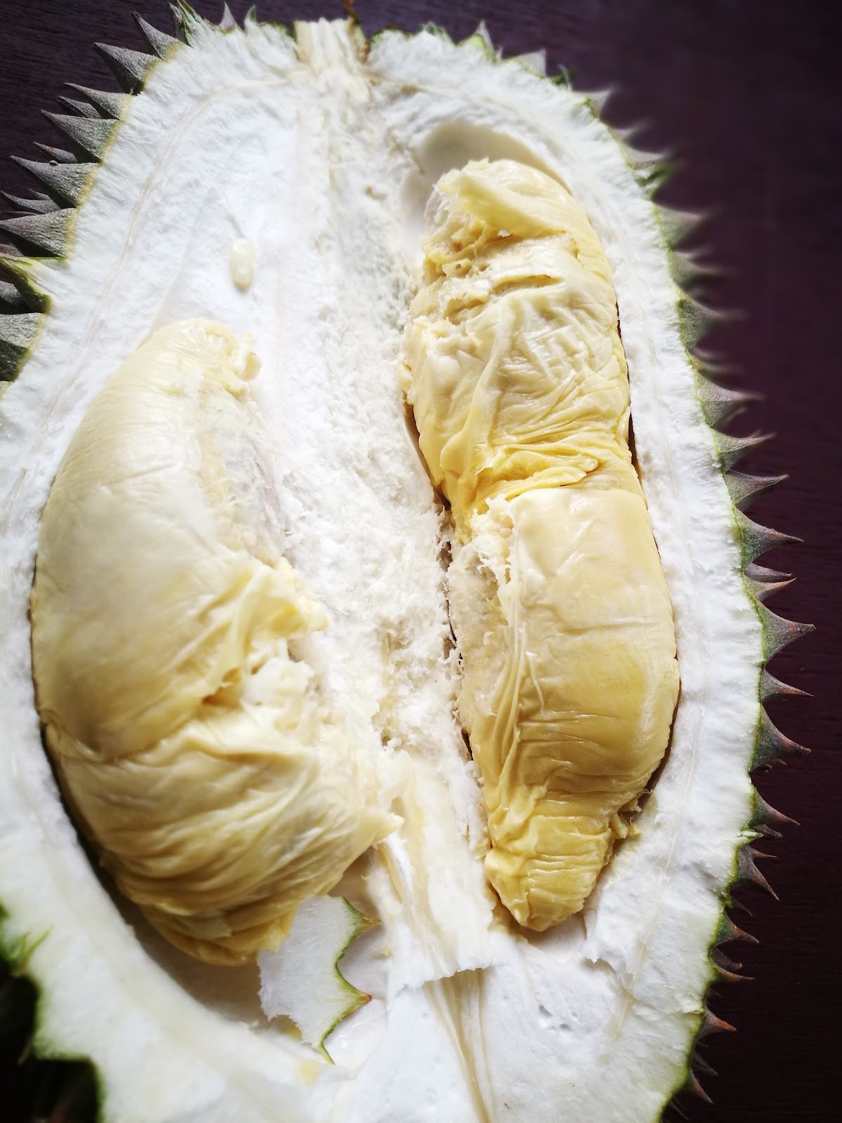
- Falling durian fruit during durian season — a falling durian is not a joke, it is a serious injury risk. Ask locals about the season before you go
- Crabs at the summit — minor but worth knowing
Turn back if weather closes in fast — the rope sections become significantly more dangerous in heavy rain. The trail is popular and shady year-round, but that popularity also means don't assume others will help if something goes wrong. Start early, know your limits, and don't push the summit if the upper trail is soaked and your group is already struggling.
What to Bring
This is a Hard-rated climb with rope sections and muddy terrain, packed into a relatively short distance. Pack accordingly:
- Hiking shoes with grip — trail runners or boots, not sandals, not casual sneakers
- Long sleeves and long pants — non-negotiable given the mosquito and red ant situation
- At least 1.5–2 litres of water — there's a waterfall on trail but carry enough to be safe
- Trekking poles — the descent on steep muddy trail is significantly easier with poles. The TAHAN 3-Section Foldable Hiking Stick V2 packs down small enough for a day bag and gives you the grip you need on the rope sections and slippery steps
- Knee support — if your knees give you trouble on descents, the TAHAN Kinetix Knee Guard With Spring Support is worth putting on before you start, not after you're already hurting
- Snacks and a light meal — you'll be burning real energy on this one
- 30 sen for the toilet — small thing, easy to forget
- Light rain layer — afternoon showers happen
- First aid basics — blister plasters, antiseptic for any scrapes on the rocky summit
Not sure what else to pack for a hike like this? Our hiking gear guide covers the essentials for Malaysian terrain without overcomplicating it.
FAQ
How hard is Gunung Singai?
Genuinely hard. AllTrails and Malaysia-Traveller both rate it Hard/Challenging, and the elevation gain of 648–650 m packed into 4.3 km backs that up. The rope-assisted sections above the church are the crux — steep and muddy, requiring upper body effort. Fit beginners can do it, but go in knowing it's not a casual walk. Wikiloc has a Moderate rating floating around; I'd treat that as optimistic.
How long does Gunung Singai take?
Most hikers report 3–3.5 hours total for the out-and-back. The stage-by-stage breakdown puts the summit at about 1 hour 45 minutes from the base at a solid pace, so factor in rest stops and the descent. If you're also spending time at the church and the Christ the King statue, add time accordingly.
Do I need a permit to hike Gunung Singai?
No permit is required. On entrance fees, recent 2024–2025 sources indicate no fee is currently charged, though an older 2016 source mentioned RM10. Toilet facilities cost 30 sen. As always, check before you go in case anything has changed.
Is Gunung Singai suitable for beginners?
It depends on the beginner. If you're reasonably fit and not afraid of steep terrain, you can do it — but go in fully informed. The rope sections are real, the mud is real, and the mosquitoes are real. Don't attempt it in flip-flops or light sneakers. If you're brand new to hiking, a few easier trails first would be smarter preparation.
Camp Nearby?
Making a weekend of it? Gunung Singai is in Bau, Sarawak, which puts you in good range of some solid overnight options across the region. If you want to push further into Sarawak's coast, EnChant Retreat & Glamping Telok Melano is worth a look for something a bit more comfortable after a hard day on the trail. For a jungle-immersed experience that fits the spirit of Singai itself, check out Lepau Uten Long Urun — a jungle homestay that puts you properly in the wild. If you're extending your Sarawak trip toward Miri, 91 Beach Campsite Miri is a solid base. Going up Singai the morning after a quiet camp somewhere nearby beats fighting Kuching traffic for a 6 AM start.
Mike has been camping across Malaysia for over 10 years — from jungle treks in Taman Negara to beach camps in Perhentian. He writes about it so you don't have to find out the hard way. Follow along on TAHAN Outdoor's blog for honest campsite reviews, every week.