Gunung Kinabalu: A Hiker's Guide (2026)
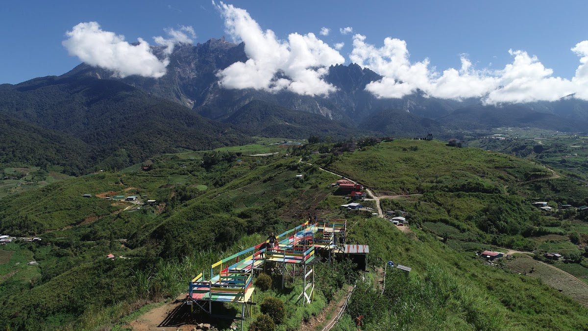
Gunung Kinabalu is the highest peak in Malaysia and one of the most iconic climbs in Southeast Asia. At 4,095 m above sea level, it sits inside Kinabalu National Park in Sabah — a UNESCO World Heritage Site — and draws hikers from all over the world who want to stand on that bare granite summit and watch the sun come up over Borneo. This is not a casual weekend wander. But it's also not technical mountaineering. With the right preparation, reasonable fitness, and a healthy respect for altitude, most people can do this.

What makes Kinabalu special is the sheer variety of what you move through: dense lowland rainforest, pitcher plants clinging to the mist, montane scrub, alpine meadows, then suddenly — nothing but open rock and sky. The standard climb is two days, one night, with a 2 AM summit push on Day 2. It's an experience that's hard to put into words without sounding like a motivational poster, so let's just get into the logistics.
This guide is for hikers planning the standard Timpohon Trail route. The Mesilau Trail is closed indefinitely, so everyone goes up and comes down via Timpohon. No exceptions, no workarounds.
Quick Facts
- Elevation: 4,095 m (Low's Peak)
- Elevation Gain: ~2,300 m total
- Distance: 17.4 km return (8.72 km one way)
- Duration: 2 days, 1 night standard. Day 1: 4–6 hours (Timpohon Gate to Laban Rata). Day 2: 5–8 hours (summit push and descent)
- Difficulty: Moderate trail terrain, highly challenging due to altitude
- Trailhead: Timpohon Gate (1,866 m), Kinabalu National Park, Ranau, Sabah
- Permit: Mandatory. RM400 (foreign adults), RM100 (Malaysian adults), half price for under-18s. Limited to 163 permits per day.
- Guide: Mandatory. One guide per max 5 climbers (16+)
- Best Season: March–August
Getting There & Parking
Kinabalu National Park is about 88 km from Kota Kinabalu city. From KK, you take a bus or minivan to the park headquarters in Ranau — the journey takes roughly 2 hours depending on traffic. Buses depart from Inanam Bus Terminal and Padang Merdeka Bus Station. Express minibuses also run from outside Wawasan Plaza in KK city. Check current departure times closer to your trip as these change.
From the park office, there's a minibus transfer to Timpohon Gate — about 5.5 km and 10 minutes. You don't walk to the gate; you board that minibus. If you're driving yourself, note that there's no hiker parking at Timpohon Gate itself. Baggage storage is available at the ranger station for a small fee per item if you need to leave gear behind while you're on the mountain.
Permits & Fees
A climbing permit from Sabah Parks is mandatory, full stop. As of January 2023, fees are RM400 for foreign adults and RM100 for Malaysian adults. Children under 18 pay half price. Permits are strictly limited to 163 per day, and every permit requires a confirmed bed booking at Panalaban Base Camp (Laban Rata area) — you cannot get a permit without accommodation.
Book at least 4 months in advance. This is not an exaggeration. Permits sell out far ahead, especially during peak season (April–August) and Malaysian public holidays. One-day permits are currently not available — the two-day format is the only option.
If you need to change the name on your permit, there's a RM50 fee for Non-Ferrata permits and RM100 for Via Ferrata permits. Handle bookings directly through Sabah Parks at www.sabahparks.org.my. Guides are also booked and paid for through Kinabalu Park — budget this as a separate cost on top of your permit.
Trail conditions and permit requirements change — always check with the local forestry office or park authority before you go. Or ask the TAHAN Hiking Community on WhatsApp — someone's usually been there that week. Checking a different gunung? Try our free permit checker — instant answer for 90+ Malaysian mountains.
The Trail: What to Expect
The standard route is split across two days. Day 1 is the long slog through forest to Laban Rata. Day 2 is the summit push in the dark and the full descent back to the gate. Both days are hard in different ways.
Timpohon Gate (1,866 m) — Start of Day 1
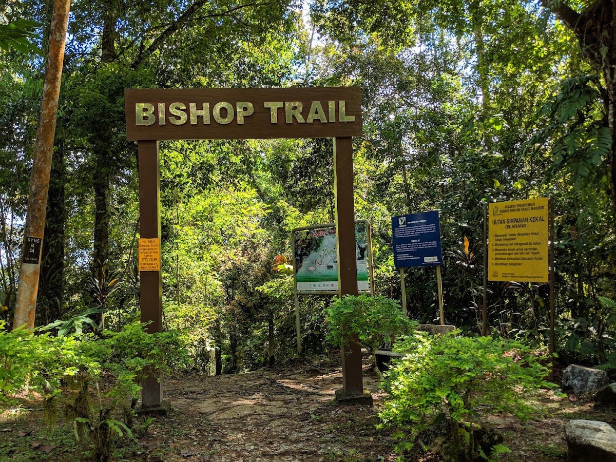
You'll register here and meet your guide before setting off. The gate area has toilets and a small briefing area. Get everything sorted, check your pack is manageable, and start early — aim to leave by 8–9 AM at the latest if you want to reach Laban Rata comfortably before the afternoon cloud rolls in. The trail starts with steps — a lot of them — and tree roots. Don't go out fast. Seriously. Pace yourself from the first five minutes.

Kandis Shelter (1,982 m)
First rest stop. You've barely started but your legs will be reminding you that 2,300 m of elevation gain is ahead. Use these shelters to drink water, catch your breath, and check in with how your body is feeling. The vegetation here is still dense tropical forest — muddy underfoot after rain, roots everywhere.
Ubah Shelter (2,081 m)
Keep your eyes open near here for Nepenthes Lowii — a carnivorous pitcher plant endemic to Kinabalu. It's one of those only-here moments you walk past too quickly if you're head-down grinding. The trail continues to steepen.

Pondok Lowii (2,262 m)
Vegetation starts to shift. You're moving into montane forest — shorter trees, more moss, quieter. The air is noticeably cooler. Refill your water here if needed. The first water refill station on the trail is at the 6 km mark — carry at least 2 litres from the start.
Pondok Mempening (2,490 m)
You're past 2,400 m now. Some hikers start feeling the early effects of altitude at this point — mild headache, heavier breathing. This is normal. Slow down, don't push through sharp headaches, and stay hydrated. The forest is thinning and views start opening up on clear days.
Pondok Layang-Layang (2,691 m)
Another rest point with toilet facilities. You're in the upper montane zone now — scrubby vegetation, dramatic views when the cloud lets you see them. The gradient eases slightly through some stretches here before steepening again toward Laban Rata.

Laban Rata / Panalaban Base Camp (3,272 m) — End of Day 1
You made it through Day 1. Laban Rata is where you eat, rest, and try to sleep before a 2 AM wake-up. Free boiled drinking water is available here — use it. Dinner and breakfast are typically included in your accommodation package, but verify this when you book. The views from this elevation at sunset are something else entirely on a clear evening.
Do not neglect sleep even if the altitude makes it difficult. Your body needs whatever rest it can get before the summit push. Keep warm — temperatures drop significantly at night.
Summit Push — 2 AM Start, Day 2 (3,200 m to 4,095 m)
This is where Kinabalu earns its reputation. You leave in darkness, headlamp on, moving across open granite rock with fixed ropes to guide and assist you. The terrain is barefaced rock — no tree cover, no shelter. Wind cuts through at this altitude. The cold is real: temperatures at the summit can drop below 10°C, and windchill makes it feel worse.
The Sayat-Sayat checkpoint has a hard cut-off time of 5:30 AM enforced by rangers. If you haven't reached Sayat-Sayat by then, you will be turned back. Start on time and maintain a steady pace. If the summit gate is closed due to rain after 1:30 AM, the summit push may be cancelled — this happens, and it's a gut punch, but the mountain doesn't negotiate.

Low's Peak (4,095 m)
The summit. At this elevation, sunrise over Borneo hits differently. Cloud fills the valleys below, the sky turns orange and gold, and for a few minutes everything else stops mattering. Hikers who've done peaks around the world describe the sunrise from Low's Peak as genuinely spectacular — not just because of the altitude, but because of what surrounds it. Sign the logbook, take your photos, breathe it in.

Descent & Safety
The descent looks easier on paper but causes more injuries than the ascent. Coming down 2,300 m of elevation gain on tired legs, on wet granite and muddy steps, is where knees start complaining loudly and footing gets sketchy. Take your time. Use the fixed ropes. Do not rush just because you're going downhill.
Key hazards to know before you go:
- Altitude effects — the primary challenge on this mountain. Symptoms: headache, nausea, dizziness, breathlessness beyond expected exertion. Descend immediately if symptoms are severe.
- Slippery conditions in rain — the trail becomes hazardous fast. On Day 2, the summit terrain becomes effectively a waterfall in heavy rain.
- Dense fog — visibility can drop to near zero. Stay on marked paths and with your guide.
- Exposure near Low's Gully — on the final ascent, there's significant exposure on the ridge. Don't wander off the marked route.
- Cold temperatures — below 10°C at summit, windchill makes it colder. Hypothermia is a real risk if you're underdressed or wet.
- Steep rocky steps and roots — Day 1 trail is physically demanding on joints, especially knees on descent.
- No shelter on Day 2 granite section — if weather turns, there's nowhere to hide above Laban Rata.
Turn back if: heavy rain begins during the summit push, you or anyone in your group shows signs of severe altitude sickness, or rangers instruct you to. The mountain will still be there. Your guide is your first point of contact for any safety decision — listen to them.
What to Bring
Kinabalu demands a specific kit. You're dealing with humid tropical forest on Day 1 and cold, exposed alpine rock on Day 2. Pack accordingly.
- Layering system: moisture-wicking base layer, mid fleece, waterproof/windproof outer shell. This is non-negotiable for Day 2.
- Headlamp + spare batteries: essential for the 2 AM summit push. A backup option like the TAHAN Luminate Multifunction Lantern is worth having at camp too — the Laban Rata dorms are dark and cramped.
- Hiking poles: your knees will thank you on the descent. The TAHAN 3-Section Foldable Hiking Stick V2 packs down small enough for your bag during the rocky sections where you need both hands on the ropes.
- Water: minimum 2 litres. Refill at shelter stations along the trail. Bring purification tablets for any untreated water.
- Gloves and beanie: mandatory for summit push. Thin liner gloves plus a warmer pair if possible.
- High-energy snacks: trail mix, energy gels, chocolate. Appetite suppresses at altitude so force yourself to eat.
- Sturdy trail shoes with grip: waterproof hiking boots preferred. Not trail runners, not sandals.
- Small daypack for Day 2: leave the bulk of your gear at Laban Rata. Carry only summit essentials.
- Sunscreen and sunglasses: UV is intense at altitude on clear days.
- First aid basics: blister kit, paracetamol, altitude sickness medication (discuss with a doctor before your trip).
For a fuller rundown on poles and knee protection for Malaysian mountain hikes, check out our hiking gear guide.
FAQ
How hard is Gunung Kinabalu?
The trail itself — steps, fixed ropes, marked path — is well-maintained and rated moderate in terms of terrain. No climbing experience or technical skills needed. But altitude is the real difficulty here. At 4,095 m, the air is thin, your body works harder, and altitude sickness is a genuine risk regardless of fitness level. Fit people get hit by altitude too. Expect it to be tough.
How long does it take to climb Gunung Kinabalu?
The standard format is 2 days, 1 night. Day 1 (Timpohon Gate to Laban Rata): most hikers take 4–6 hours. Day 2 (summit push and full descent back to Timpohon Gate): 5–8 hours. Total distance is 17.4 km return. A 3-day, 2-night option is also available for those who want more acclimatisation time at Laban Rata.
Do I need a permit to climb Gunung Kinabalu?
Yes, a climbing permit from Sabah Parks is mandatory. As of January 2023: RM100 for Malaysian adults, RM400 for foreign adults. Only 163 permits are issued per day. You also need a confirmed bed at Panalaban Base Camp before a permit is issued. Book at least 4 months ahead through www.sabahparks.org.my.
Do I need a guide for Gunung Kinabalu?
Yes, a guide is mandatory by park regulations. One guide can take a maximum of 5 climbers aged 16 and above (or maximum 2 children under 16). Guides are booked and paid for through Kinabalu Park when you sort your permit. They know the mountain, they know the cut-off times, and they're your safety net. Don't view this as a formality.
Camp Nearby?
Making a weekend of it? If you want to stay in Sabah a little longer and wind down after the climb — or arrive a day early to acclimatise at lower elevation — there are some good options in the region. Check out our reviews of Tungog Rainforest Eco Camp, Sabah for a jungle immersion experience, or head to Kota Belud where you'll find Dingin Batu Campsite, Kota Belud for something more rustic, and Nulinau Glamping Garden, Kota Belud if you want comfort after two days of granite and thin air. You've earned it.
Trail conditions, permit updates, and hiking buddies for the weekend — all in one WhatsApp group. Just ask; someone was probably up there last week.
💬 Join the Hiking CommunityFree, one click. No spam — the occasional promo at most.
Mike has been camping across Malaysia for over 10 years — from jungle treks in Taman Negara to beach camps in Perhentian. He writes about it so you don't have to find out the hard way. Follow along on TAHAN Outdoor's blog for honest campsite reviews, every week.
⛺ Featured in: The 5 Best Hikes in Sabah (2026)