Gunung Gap, Fraser Hill: A Hiker's Guide (2026)
Gunung Gap sits right on the Selangor-Pahang border, tucked behind the famous Gap Resthouse along the old road to Fraser's Hill. At 1,183 m, it's the starting peak of a ridge trail that continues to Gunung Ulu Tranum (1,341 m) and Gunung Ulu Semangkok (1,394 m) — three summits in one go if you want the full loop. Most hikers come here for the cool mountain air, the mossy forest, and the bragging rights of a triple-peak day without needing to take a week off work.

This hike sits in that useful middle ground — demanding enough to feel like a proper achievement, but genuinely doable for hikers who've got a few months of weekend trails under their belt. The steep sections are real, the terrain after rain is slippery, and the mandatory guide requirement means you can't just rock up and solo it anymore. Plan accordingly. If you're an ambitious beginner or an intermediate hiker looking for a cool-weather ridge walk near the Klang Valley, Gunung Gap deserves a spot on your list.
One honest caveat before we go further: trail reports on difficulty vary quite a bit — some call it a casual 4/10, others describe it as moderately challenging. The truth is probably both, depending on your fitness level and whether it's rained recently. Plan for moderate, and you won't be caught off guard.
Quick Facts
- Elevation: Gunung Gap 1,183 m | Gunung Ulu Tranum 1,341 m | Gunung Ulu Semangkok 1,394 m
- Distance: 6.12 km out and back (Gunung Gap only); loop via all three peaks ~5.9 km
- Duration: Most hikers complete the full route in around 5.5–6 hours total; ~1 hour to Gunung Gap summit, ~2 hours one way to Gunung Ulu Semangkok
- Difficulty: Moderate / Moderately challenging — steep ascent at start and near Gunung Ulu Semangkok
- Permit required: Yes — via SEFOREST system (Jabatan Perhutanan Negeri Selangor), RM 5 per person
- Mountain Guide (MGP) required: Yes — mandatory; 1 guide per maximum 7 hikers
- Water sources on trail: None — bring your own
- Best time: Year-round; avoid immediately after heavy rain
Getting There & Parking
The trailhead is at The Gap Resthouse, Fraser Hill Gap — the old colonial rest stop on the winding road between Kuala Kubu Bharu (KKB) and Fraser's Hill. From KKB, expect roughly 45 minutes to an hour of driving on a road that genuinely requires your full attention. It's narrow, hilly, and the corners don't forgive overconfidence. Don't rush it.
Parking is available at the roadside near the trailhead. There's no formal car park structure — you park along the main road. A few hikers have flagged that you need to be a bit careful about where exactly you leave your car, so use common sense, don't block the road, and don't leave valuables visible. Note: there are no toilets at the trailhead itself, though there's reportedly a public toilet about 500 m away — factor that into your pre-hike routine.

Permits & Fees
As of 1 April 2025, a hiking permit is required and must be obtained through the SEFOREST system run by Jabatan Perhutanan Negeri Selangor (JPNS). The permit fee is RM 5 per person, payable via FPX or online banking after portal approval. Don't wait until the last minute — get this sorted a few days before your hike.
A Mountain Guide (Malim Gunung / MGP) is compulsory for any trail at 600 m elevation and above — which means this entire trail. The ratio is 1 guide per maximum 7 hikers. The guide fee wasn't confirmed in our research, so check with your guide or the forestry office when you apply. Permit inspections are actively conducted at the carpark by Jabatan Perhutanan and PDRM officers, so this isn't optional or unenforced.
Trail conditions and permit requirements change — always check with the local forestry office or park authority before you go. Or ask the TAHAN Hiking Community on WhatsApp — someone's usually been there that week. Checking a different gunung? Try our free permit checker — instant answer for 90+ Malaysian mountains.
The Trail: What to Expect
The full route takes you across three peaks along a cool, forested ridge. You can turn back at Gunung Gap if you just want a shorter day, but the mossy forest near Gunung Ulu Semangkok is the real highlight — most hikers who've done both say the extra distance is worth it.

Stage 1: Trailhead at The Gap Resthouse to Steep Ascent
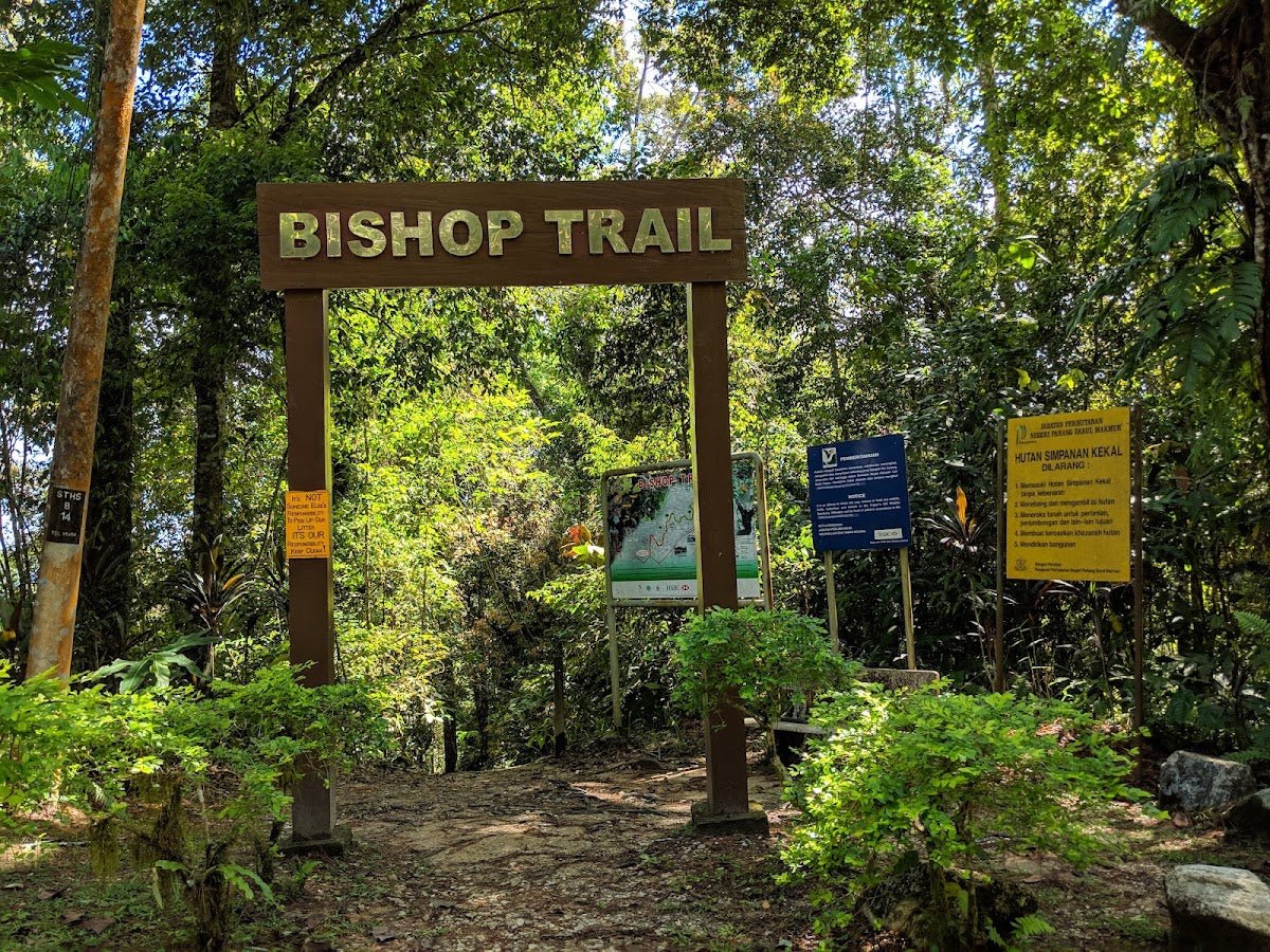
The trail begins right at The Gap Resthouse. Don't be fooled by the genteel surroundings — it gets steep almost immediately. The opening section climbs through bamboo forest on root-laced trails. The roots are helpful footholds when dry, but after rain they're proper ankle-rollers. Watch your step from the first minute. The bamboo sections can have fallen stalks across the path; step over carefully, they're not always stable underfoot.
Stage 2: Gunung Gap Summit (~1 Hour from Start)
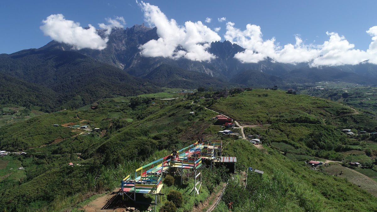
Most hikers reach the Gunung Gap summit (1,183 m) in around an hour from the trailhead. The ascent is real work but it's consistent — no technical climbing, just sustained uphill effort. The summit offers views of the surrounding mountains, and on a clear day you can catch a glimpse of Gunung Tahan in the distance. Worth a short rest before pushing on.

Stage 3: Descent and Ascent to Gunung Ulu Tranum (3.0 km from Gap)
From Gunung Gap, the trail descends before climbing again to Gunung Ulu Tranum (1,341 m). This descent-then-ascent pattern is where the trail earns its moderate rating — your legs are already working, and the slope back up demands more from your knees and quads. Trekking poles genuinely earn their keep here.
Stage 4: Ridge Trail and False Peak Towards Gunung Ulu Semangkok
Between Gunung Ulu Tranum and Gunung Ulu Semangkok, the terrain eases somewhat along the ridge — a welcome break. There's a false peak along this section that can mess with your morale if you're not expecting it. The forest floor here is blanketed in leaf litter, ferns, and moss. It's genuinely beautiful, and the temperature up on the ridge is noticeably cooler than at the trailhead. Bring a windbreaker — it can get properly chilly, especially in the morning.

Stage 5: Gunung Ulu Semangkok Summit (5.9 km total from trailhead)
The final push to Gunung Ulu Semangkok (1,394 m) is the steepest section of the whole trail. Your guide will know this stretch well — follow their pace. The summit is surrounded by a mossy garden that's unlike anything on the lower sections of the trail. There's a border viewpoint here with views across both Pahang and Selangor — a good spot to take a breath and appreciate where you are before turning back.

Stage 6: Return
You can return via the same route or complete the loop — check with your guide on the day for the current condition of the alternative route. The total loop distance is approximately 5.9 km. Trip reports suggest the full outing takes around 5.5 hours, though your time will depend on your fitness and how long you linger at summits.
Descent & Safety
The descent back from Gunung Ulu Semangkok and through the steeper sections near Gunung Gap requires the same attention as the ascent — maybe more. Coming down steep muddy trails is where most slips happen. Take it slow, use your trekking pole on the downhill, and test your footing before committing your full weight.
Key hazards on this trail:
- Fallen bamboo sections across the path — unstable, don't step on them casually
- Muddy and slippery terrain when wet — significant risk after rain
- Steep descent from Gunung Gap followed by an immediate sharp ascent — double impact on the knees
- Steep ascents at the trailhead and again approaching Gunung Ulu Semangkok
- No water sources on the trail — dehydration is a real risk if you underprepare
If weather turns bad during your hike — heavy rain, visibility drops, trail gets genuinely muddy and dangerous — turn back. The summits will still be there next weekend. Your guide should be making this call with you. There are no seasonal closures documented for this trail, but wet-weather conditions change everything here. Do not push through a slippery ridge in poor visibility.
What to Bring
This is a shaded forest trail with cool temperatures, steep sections, and zero water resupply points. Pack for that reality:
- Water: Minimum 1 litre per person — there are no natural water sources on the trail. Bring more if you tend to drink a lot or if it's a warm day.
- Trekking poles: The steep descent sections and slippery root terrain make poles genuinely useful here, not just comfort gear. The TAHAN 3-Section Foldable Hiking Stick V2 folds down compact enough to stash in your pack when the trail flattens out and deploys fast when you need it.
- Knee support: The descent-and-re-ascent pattern on a moderate trail like this adds up over 5+ hours. If your knees talk to you on long downhills, consider the TAHAN Kinetix Knee Guard With Spring Support — it's made exactly for this kind of repeated up-down terrain.
- Windbreaker or light rain jacket: The ridge gets chilly and weather at 1,300+ m can shift fast. Non-negotiable.
- Proper hiking boots or trail shoes: Grip matters enormously on this trail. Road shoes are a bad idea.
- Snacks and lunch: There are no stalls or facilities up top. Pack enough fuel for a full half-day out.
- Headlamp: If you're starting early or the hike runs long, you want one.
- Printed or downloaded permit confirmation: Authorities check at the carpark.
For a broader breakdown of what gear makes sense for Malaysian mountain hikes, check out our hiking gear guide.
FAQ
How hard is Gunung Gap?
Moderate — the honest answer is somewhere between easy and challenging depending on your fitness. The opening ascent is steep, and the push to Gunung Ulu Semangkok is the hardest section of the whole route. If you've been hiking regularly for a few months and can handle sustained uphill for an hour, you'll manage. If it's your very first hike ever, this probably isn't where you want to start. One reviewer called it a 4/10; others said moderately challenging. Prepare for the harder end and you won't be caught off guard.
How long does it take to hike Gunung Gap?
To reach the Gunung Gap summit only: roughly 1 hour from the trailhead. For the full loop including Gunung Ulu Tranum and Gunung Ulu Semangkok: trip reports put the total at around 5.5–6 hours. The average completion time across multiple records runs 2 hours 49 minutes to 3 hours 17 minutes, but that likely reflects faster hikers on a partial route. Budget a full half-day and don't rush your summit time.
Do I need a permit to hike Gunung Gap?
Yes. As of April 2025, a permit is required from Jabatan Perhutanan Negeri Selangor via the SEFOREST online system, costing RM 5 per person. A licensed Mountain Guide (MGP) is also mandatory — 1 guide per maximum 7 hikers. Permit checks are actively enforced at the carpark by forestry and police officers, so don't skip this step.
Is there water on the trail?
No confirmed natural water sources on the trail. Bring a minimum of 1 litre per person from the start — more if you're doing the full loop in warm weather. Don't rely on finding a stream.
Camp Nearby?
Making a weekend of it? The Pahang-Selangor highland corridor has some solid camping options within reasonable driving distance. If you want to stay the night before an early morning start and avoid the morning KKB traffic, check out our review of Woodstock Camp Janda Baik — it's a well-run site in the cool highlands and a good base. For something a bit more comfortable, Glamping Valley @ Janda Baik is worth a look if you want the mountain air without sleeping on the ground. And if you're coming from the Bentong direction, Camp Mantap, Bentong is worth knowing about too.
Trail conditions, permit updates, and hiking buddies for the weekend — all in one WhatsApp group. Just ask; someone was probably up there last week.
💬 Join the Hiking CommunityFree, one click. No spam — the occasional promo at most.
Mike has been camping across Malaysia for over 10 years — from jungle treks in Taman Negara to beach camps in Perhentian. He writes about it so you don't have to find out the hard way. Follow along on TAHAN Outdoor's blog for honest campsite reviews, every week.