Genting Peres: A Hiker's Guide (2026)
Genting Peres sits deep inside the Bukit Sungai Putih Forest Reserve in Hulu Langat, Selangor — and it is not the kind of hike you stumble into unprepared. This is a serious 25.3 km circular trail that strings together multiple peaks and jungle waypoints, with 1,717 metres of elevation gain packed into a full day on your feet. Most hikers tackle it as the Gunung Hitam–Genting Peres loop, and that context matters: you are not just bagging one summit, you are grinding through a proper multi-stage jungle circuit.

The trail has a reputation as a training ground — hikers use it to prepare for big objectives like Mount Rinjani or Mount Kinabalu, and you can see why. The elevation gain is real, the terrain is varied, and 10.5 to 11.5 hours is a long time to be moving through Malaysian rainforest. That said, the reward is genuine: thick canopy, moments of real solitude, and sweeping views of the surrounding landscape when the trail finally opens up. It also pulls in mountain bikers on the access road sections, which tells you something about the character of the place — rugged, a bit raw, and well off the tourist trail.
Who is this for? Fit, experienced hikers who know how to pace themselves, navigate jungle terrain, and manage their own safety. If you are newer to hiking or still building your hill legs, do this one after you have a few tough day hikes under your belt — not before.
Quick Facts
- Distance: 25.3 km (circular trail)
- Elevation Gain: 1,717 m
- Duration: 10.5–11.5 hours
- Difficulty: Hard
- Trailhead: Hulu Langat, Selangor (Bukit Sungai Putih Forest Reserve)
- Permit Required: Yes — Selangor State Forestry Department
- Best Time: Open year-round
Getting There & Parking
The trailhead is located in the Hulu Langat area of Selangor, within the Bukit Sungai Putih Forest Reserve. The access road is a winding mountain route hemmed in by thick rainforest — the kind you slow down for, not race through. Occasional waterfalls and springs pop up along the road, which is part of the charm but also means the road surface can be slick after rain.

Specific parking details for the trailhead are not well documented, so do not assume there is a formal car park waiting for you. Check with the Selangor State Forestry Department or fellow hikers in local Facebook groups before you go — they will have the most current ground-level info on where to leave your car safely. Plan to arrive early regardless. On a 10.5 to 11.5 hour hike, you want to be moving by first light.
Permits & Fees
A permit is required to hike in Bukit Sungai Putih Forest Reserve, and it is issued by the Selangor State Forestry Department (Jabatan Perhutanan Selangor). The exact fee is not confirmed at time of writing — general Malaysian forest reserve permits typically run in the RM5–RM10 per person range, but do not bank on that figure being current or applicable here.
Sort your permit out before you show up at the trailhead. Getting turned back because you skipped paperwork on a 10-plus hour hike day is a painful way to learn this lesson.
Trail conditions and permit requirements change — always check with the local forestry office or park authority before you go. Or ask the TAHAN Hiking Community on WhatsApp — someone's usually been there that week. Checking a different gunung? Try our free permit checker — instant answer for 90+ Malaysian mountains.
The Trail: What to Expect
This is a circular route, so the trail keeps moving forward rather than retracing your steps. The stages below follow the main waypoints of the Gunung Hitam–Genting Peres loop. Budget your time honestly — 10.5 hours is the optimistic end of the range, not the target.

Stage 1: Gunung Hitam
Gunung Hitam is the opening chapter of this loop and it sets the tone immediately. Expect steep inclines early — the kind that remind your calves they exist. The jungle here is dense and the trail is proper rainforest: roots underfoot, humidity doing its thing, and limited sightlines. Pace yourself hard here. Burning out on Gunung Hitam means you will be suffering long before Genting Peres.
Stage 2: Gua Jepun
Gua Jepun — Japanese Cave — is one of the more distinctive waypoints on the route and a good psychological marker that you are making progress. The trail around this section can involve tricky footing depending on recent weather conditions. Watch for the rickety wooden footbridge spanning a small stream along the route — it is there, it is old, and you cross it carefully, not quickly. Test it before you commit your full weight.

Stage 3: Bukit Resam Ambat
By the time you hit Bukit Resam Ambat, you will have been moving for several hours. This mid-section of the trail is where the bamboo forest sections kick in. Dense bamboo is not just an aesthetic thing — it narrows the trail, limits airflow, and can make navigation feel disorienting if you are not paying attention to markers. Stay on the established path and keep your eyes on where you are going rather than up at the canopy.
Stage 4: Bukit Batu Bulan
Rocky sections become more pronounced around Bukit Batu Bulan. This is where trekking poles genuinely earn their keep — both on the rocky scrambles up and on the descents between ridgelines. The terrain here rewards slow, deliberate movement over rushed footwork. Fatigue tends to build around this stage, which is exactly when you need to be most careful with your footing.

Stage 5: Genting Peras (Summit)
The final push to Genting Peras delivers the views that make the whole day worthwhile — breathtaking panoramas of the surrounding landscape that the jungle had been hiding from you all day. On quieter mornings you can have the summit almost to yourself. Take your time here, eat something, drink water, and acknowledge the fact that you still have a significant descent ahead before you start celebrating too hard.

Descent & Safety
The circular nature of this trail means you are not backtracking, which is good — but a long descent after 8-plus hours of moving legs is its own challenge. Knees take a hammering on the way down, especially on the steep and rocky sections. If knee pain is something you deal with on long descents, consider the TAHAN Kinetix Knee Guard with Spring Support — it makes a real difference when the trail drops sharply and your legs are already tired.
Key hazards to keep front of mind throughout the day:
- Rickety wooden footbridge — cross carefully, one at a time if in a group
- Dense bamboo forest — stay on the marked trail, navigation can get confusing
- Steep inclines and descents — both ways, both legs of the loop
- Rocky sections — especially around Bukit Batu Bulan, loose footing is a real risk
- Trail length and duration — at 25.3 km and 10.5+ hours, fatigue itself is a hazard
If weather turns bad — and Selangor's afternoon thunderstorms are not polite about their timing — do not push on hoping it clears. Wet rocky sections and slippery roots are where people get hurt. Know your turnaround point and respect it. Starting early (before 6am) gives you the best chance of being off the exposed ridge sections before the afternoon convection kicks in.
Do not hike this one alone unless you are very experienced in Malaysian jungle navigation. Bring a fully charged phone with an offline map downloaded, and let someone know your expected finish time.
What to Bring
This is a hard, full-day jungle hike with significant elevation gain. Pack accordingly — not light-and-fast, but smart-and-complete.
- Water: Bring more than you think you need. Water sources on trail are not confirmed — do not rely on finding natural water. A 2L water bladder plus extra water bottles is the right call. The TAHAN TrailBladder 2L Water Bladder keeps your hands free and your hydration consistent throughout the day.
- Food: Enough calories for 10+ hours of movement. Energy gels, nuts, real food — don't underestimate this.
- Trekking poles: Strongly recommended for 1,717 m of elevation gain and the associated descent. Check our hiking gear guide if you are not sure what to look for.
- Headlamp or lantern: Starting pre-dawn or finishing after dark is a real possibility on this timeline. Non-negotiable.
- Rain gear: A packable poncho or light rain jacket. Selangor weather does what it wants.
- First aid kit: Basic kit including blister treatment — 25 km is a long way in any boots.
- Navigation: Offline maps downloaded before you leave. Phone signal in the forest reserve is unreliable.
- Permit documents: Carry them with you on the trail.
- Layers: Mornings at elevation are cooler than you expect after a sweaty climb.
FAQ
How hard is the Genting Peres hike?
Hard — and that is the official rating, not Mike being dramatic. At 25.3 km with 1,717 m of elevation gain and a 10.5 to 11.5 hour duration, this is a serious full-day commitment. It includes steep inclines, rocky terrain, dense bamboo sections, and a dodgy wooden bridge. It is genuinely used as training for mountains like Kinabalu and Rinjani. Come prepared or don't come.
How long does it take to hike Genting Peres?
Most hikers complete the Gunung Hitam–Genting Peres circular trail in 10.5 to 11.5 hours. That is a wide range, and where you fall in it depends on your fitness level, how many breaks you take, and what the trail conditions are like on the day. Budget for the longer end if it is your first time.
Do I need a permit to hike Genting Peres?
Yes. The trail runs through Bukit Sungai Putih Forest Reserve and a permit from the Selangor State Forestry Department is required. The exact fee is not confirmed — contact the forestry office directly before your trip to get the current process and payment details sorted in advance. Step-by-step application guide: how to apply on SeForest.
Is Genting Peres good for beginner hikers?
No. This trail is rated Hard for good reason. If you are building up to it, do a few demanding day hikes first — Nuang, Fraser's Hill trails, or similar — before attempting this one. It is a worthy training ground, but only once you already have a solid base under you.
Camp Nearby?
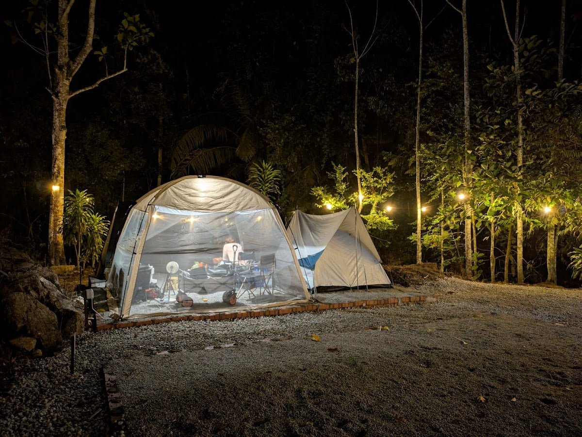
Making a weekend of it? Staying the night before in the area means you can get an early start without a brutal pre-dawn drive. A few solid options worth checking out: Nature Escape Campsite, Hulu Langat is right in your backyard for this trail — convenient and keeps you close to the trailhead. A bit further afield but worth knowing about: Mori Leka Campsite, Serendah and Templer Park Rainforest Retreat are both good options if you want to pair the Genting Peres hike with a broader Selangor outdoor weekend. Camping the night before also gives you the chance to check your gear, rest properly, and be moving by first light — which on a 10.5+ hour hike is not optional, it's just smart.
Trail conditions, permit updates, and hiking buddies for the weekend — all in one WhatsApp group. Just ask; someone was probably up there last week.
💬 Join the Hiking CommunityFree, one click. No spam — the occasional promo at most.
Mike has been camping across Malaysia for over 10 years — from jungle treks in Taman Negara to beach camps in Perhentian. He writes about it so you don't have to find out the hard way. Follow along on TAHAN Outdoor's blog for honest campsite reviews, every week.
⛺ Featured in: The 10 Toughest Hikes in Peninsular Malaysia (2026)
⛺ Featured in: The 10 Best Hikes in Selangor (2026)