
Bukit Kutu — Selangor's Most Underrated Tough Hike (With a River Swim at the End)

The Vibe
Bukit Kutu isn't your weekend family picnic spot. This one's a proper hike — the kind where you earn every single metre of elevation. Located in Selangor, it's one of those places that serious hikers whisper about but it doesn't get nearly as much attention as Gunung Nuang or Bukit Tabur. That's actually part of the charm.
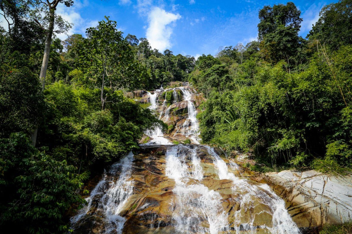
The trail takes you through dense jungle, across rivers, past waterfalls, and up to a viewpoint that genuinely makes you forget your legs are on fire. There's also a ruined colonial bungalow near the peak — creepy in the best way. The crowd here isn't big, and the ones who do show up tend to know what they're doing. First-timers come in looking confident and come out humbled. That's the Bukit Kutu experience.
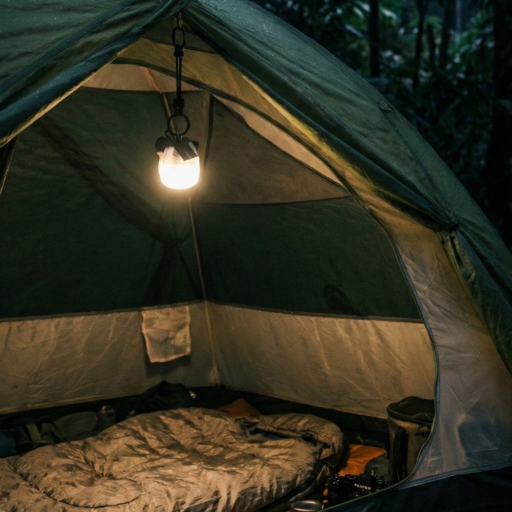
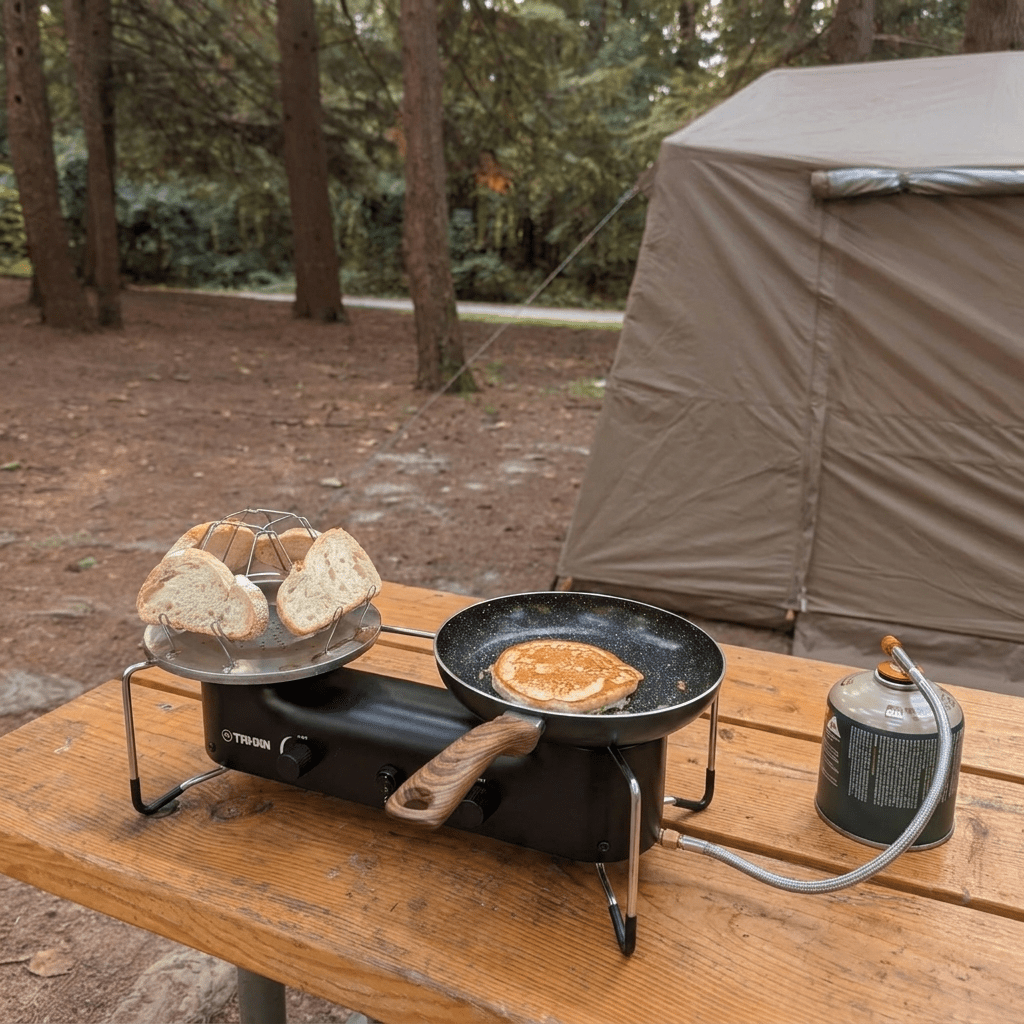
There is camping near the river at the base area, so if you're planning to stay overnight, that riverside spot is your best bet. But make no mistake — the main draw here is the hike itself, not the campsite setup. Come for the trail, the views, and that ice-cold river dip at the end.

Getting There
The trailhead is in Kuala Kubu Bharu (KKB), Selangor. Most people use KKB town as the starting reference point. From KKB, you'll head toward the Bukit Kutu trail entrance — search "Bukit Kutu Trailhead" on Google Maps and it should pull up the right location. The drive in is manageable with a regular car, nothing that needs 4WD, but the road toward the parking area can be a bit rough in patches.
When you arrive, an Orang Asli fella manages the parking. You pay RM 2 per person as an entry fee directly to him, plus RM 5 for paid parking if the free spots are already taken. Bring cash — no Touch 'n Go here. You also need a permit and a guide before you start the hike. This is non-negotiable. People have reportedly arranged guides through operators like EMMA Empire — sort this out before you drive down, not when you're already at the trailhead.

What to Expect
Let's be straight — this hike is not beginner-friendly. Most people take 3 to 5 hours going up and another 2.5 to 3 hours coming down. That's easily 6 to 8 hours on your feet total. The trail is slippery even on dry days. After rain, it becomes genuinely dangerous — rivers overflow, the ground turns into a slide, and the whole route gets exponentially harder.
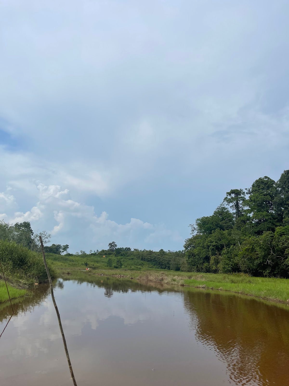
You'll cross a broken bridge and ford rivers along the way. Depending on water level, you'll be taking your shoes off to cross. Pack a dry bag or at least a spare ziplock for your phone. There are leeches — especially after rain — but nothing crazy. Just do a check every hour or so.
Near the top, there are rickety ladders. Yes, they look scary. Yes, you still go up. The final stretch to the peak viewpoint is the most dangerous part of the whole hike. Only 5 to 6 people can stand at the viewpoint at once, so you might queue a bit at the top. Worth it though — the views from up there are no joke. On the way back down, there's a river where you can clean up and cool off. The water is clean enough to drink, honestly.
This trail suits intermediate to advanced hikers. Families with young kids — probably not the move. Solo hikers — please don't. At least bring one solid friend.

Facilities
Parking
Available at the trailhead. Free spots fill up fast. Overflow paid parking at RM 5 per car. Cash only, managed by the Orang Asli community.
River Access
Two river crossings along the trail. Clean water — reviewers say it's drinkable. Great for a bath on the way back down. Levels fluctuate a lot with rain, so check the weather before you go.
Guide & Permit
Mandatory. You cannot and should not hike this without both. Permits reportedly cost around RM 50. Arrange your guide in advance through a registered operator — don't show up and wing it.
Checkpoints
Two checkpoints along the route. Basic structures, not staffed facilities — just markers along the trail.

What Campers Are Saying
One group started at 7:43 AM and finished around 3 PM — just over 7 hours including a one-hour rest at the top. They said the guide from EMMA Empire, a guy named Cangkoi, was genuinely excellent — professional, friendly, and made the whole thing feel safer. Their advice: bring sandwiches or instant noodles, take an extra set of clothes, and use the river crossing as a shower on the way back.
Another hiker mentioned paying RM 50 for the permit and guide, on top of the RM 4 parking fee. A bit of a surprise if you weren't expecting it, so budget accordingly.
One group had three random dogs follow them the entire trail up and back. Classic Malaysian jungle bonus content. They also mentioned leeches after a light drizzle the day before — annoying but harmless. Their time: 3.5 hours up, 2.5 hours down.
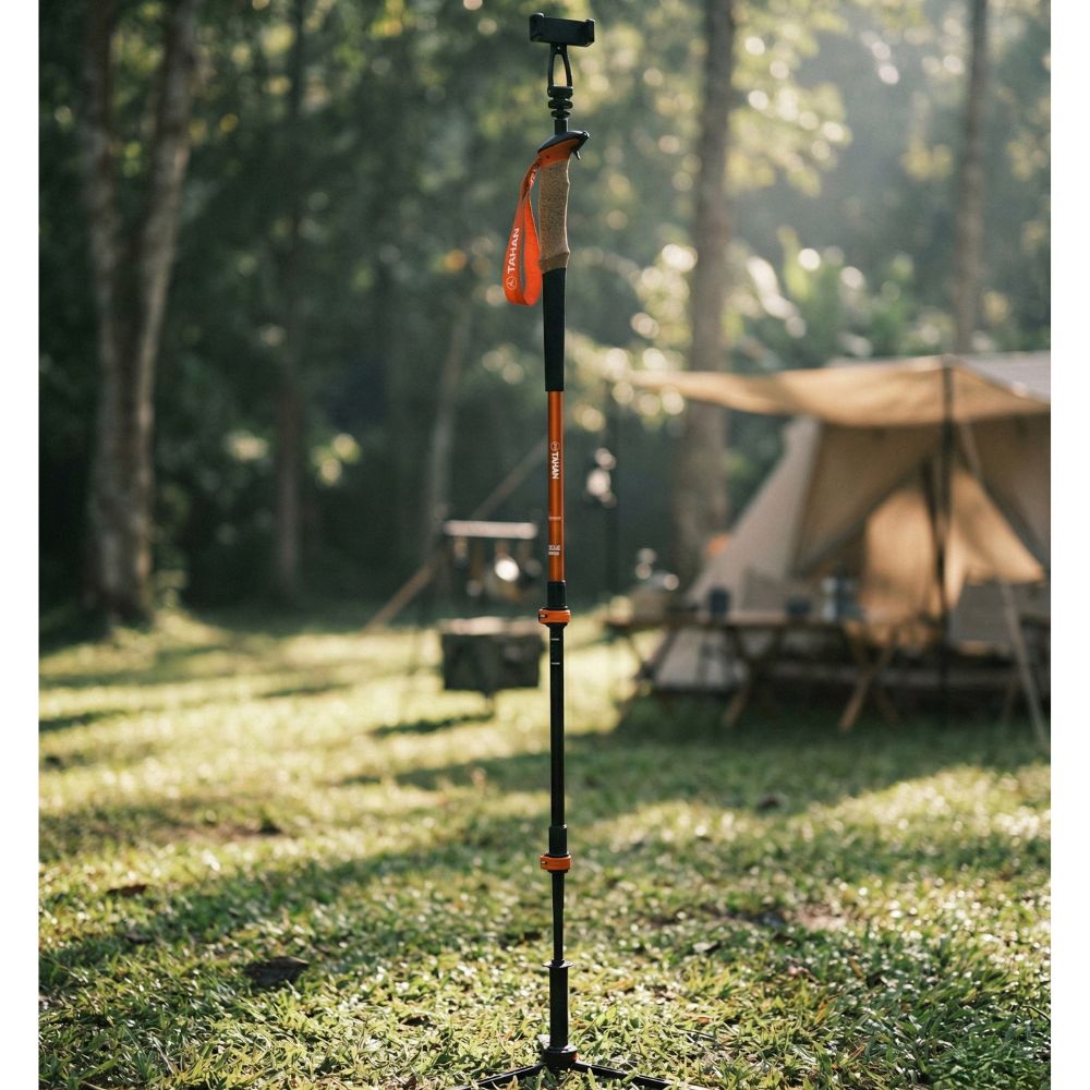
A solo hiker who went on a rainy May Day said the downhill section in the rain was terrifying — very slippery, rivers were swollen, and he strongly recommended bringing a hiking pole. He made it down fine but said never again without checking the weather first.
The most time-consuming account came from someone who took 5 hours up and 3 hours down — 8 hours total. He said the waterfall and river stops helped break up the exhaustion. The bath at the river at the end of the hike? He described it as one of the most satisfying moments of his life. Dramatic, but I believe him.

TAHAN Tip
Check the rainfall for the 48 hours before your planned hike date, not just the day itself. Bukit Kutu's rivers respond fast to upstream rain — even if it's sunny when you arrive, the water crossing could still be chest-high from rain the night before. The risk isn't just wet shoes; it's being stuck on the wrong side when the river rises while you're at the peak. Local hiking groups and the guide operators usually have updates — ask before you commit to a date.
Mike has been camping across Malaysia for over 10 years — from jungle treks in Taman Negara to beach camps in Perhentian. He writes about it so you don't have to find out the hard way. Follow along on TAHAN Outdoor's blog for honest campsite reviews, every week.
You Might Also Like
- Gunung Nuang Basecamp — if Bukit Kutu got you hungry for a longer, harder challenge, Nuang is the next step up in Selangor.
- Sungai Chilling Campsite — same clean Selangor rivers, but a much more relaxed vibe for when you want the jungle without destroying your legs.