Bukit Kutu: The Ultimate Hiker's Guide (Updated 2024)
Bukit Kutu, a 1,053-meter tall mountain in Selangor, Malaysia, offers an exhilarating hiking experience for outdoor enthusiasts. This comprehensive guide will prepare you for an unforgettable adventure on Bukit Kutu, covering everything from trail details to essential gear recommendations.
Bukit Kutu: Quick Facts
-
Location: Kuala Kubu Baru, Selangor, Malaysia
-
Starting Coordinates: 3.572510N, 101.738128E
-
Starting Elevation: 250m above sea level
-
Summit Elevation: 1,053m above sea level
-
Difficulty: Moderate to Challenging
-
Average Completion Time: 6-8 hours (3-4 hours up, 2-3 hours down)
-
Distance: Approximately 6km one-way
Getting to Bukit Kutu
From Kuala Lumpur, take the highway and exit at Rawang. Follow Route 1 north, then turn right onto Route 55 towards Kuala Kubu Baru (KKB). After passing the Sungai Selangor Dam, turn right at the sign for Kampung Pertak (GPS: 3.580738, 101.729399). Follow the small tarmac road until you reach the trailhead carpark.
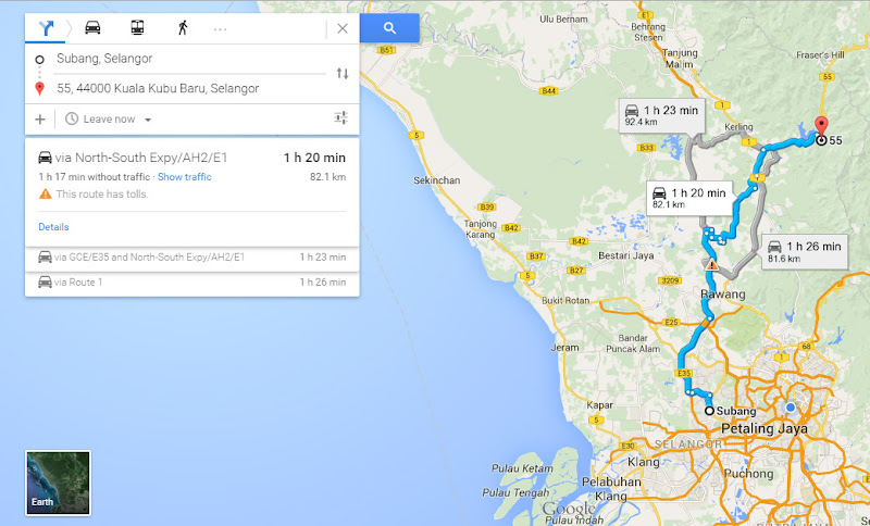
Public Transport Option
Take the KTM train to Kuala Kubu Bharu station. From there, you'll need to arrange transportation to the trailhead, about 11km east of KKB town.
Essential Gear for Your Bukit Kutu Hike
Proper preparation is crucial for a safe and enjoyable hike on Bukit Kutu. Here's a list of must-have items:
-
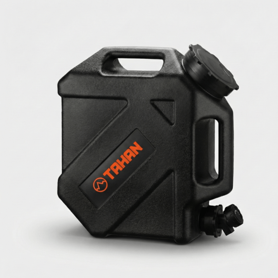
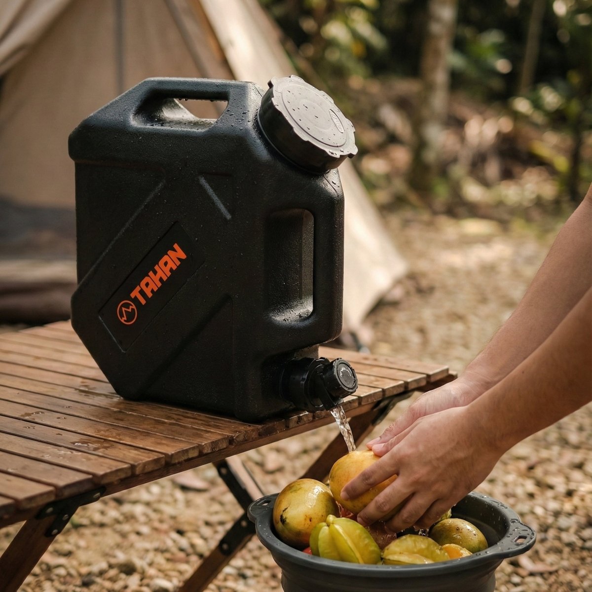
Hydration System: Carry at least 2-3 liters of water. The TAHAN TrailBladder 2L Water Bladder is perfect for this.
-
Hiking Backpack: A comfortable pack like the TAHAN 30L Hiking Backpack is essential for carrying your gear.
-
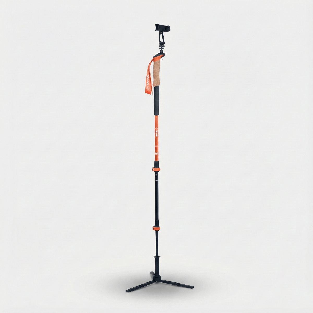
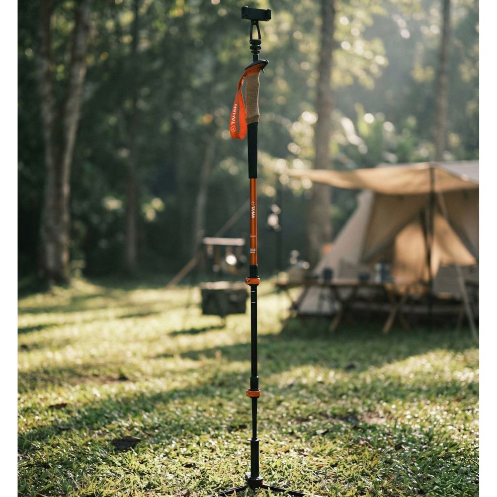
Hiking Poles: Improve stability on steep sections with the TAHAN 3-Section Foldable Hiking Stick V2.
-
First Aid Kit: Be prepared for emergencies with a compact first aid kit.
-
Snacks and Energy Bars: Pack high-energy snacks to fuel your Bukit Kutu adventure.
-
Rain Protection: Weather can be unpredictable; bring the TAHAN Ultralight Rain Jacket.
-
Extra Clothing: Pack a change of clothes and socks for after the hike.
-
Headlamp: Essential for early starts or unexpected delays on Bukit Kutu, a good suggestion will be the TAHAN Ultrabeam Headlamp
The Bukit Kutu Trail: What to Expect
1. The Initial Approach (1.5km)
The trail begins with a 1.5km walk to the foot of Bukit Kutu. You'll encounter three river crossings:
- First river: Cross via a suspended bridge
- Second river: Use caution on the partially submerged bridge
- Third river: Wade through the water
Look for the yellow "Hutan Simpanan Kekal" sign, marking the start of the actual Bukit Kutu climb.

2. The Main Ascent (4.5km)
The climb to Bukit Kutu's summit is challenging, with nine checkpoints (C1 to C9) along the way:
- C1-C4: The steepest and most challenging part of Bukit Kutu
- Between C4-C5: Look for the tall stone wall marking the halfway point
- C5-C9: The trail becomes less steep but remains challenging

3. The Summit Area
As you near Bukit Kutu's peak, you'll encounter:
- A distinctive chimney structure
- The summit boulder, requiring a climb up four ladders
- Ruins of an old colonial-era mansion

Descending Bukit Kutu
The descent takes about 2-3 hours. Take care on steep sections and slippery surfaces. Once you reach the river at the base, enjoy a refreshing dip to cool off after your Bukit Kutu adventure.
Safety Tips for Hiking Bukit Kutu
- Inform someone of your Bukit Kutu hiking plans
- Start early to avoid hiking Bukit Kutu in the dark
- Bring more water than you think you'll need
- Watch for slippery surfaces, especially after rain
- Respect the environment and practice Leave No Trace principles on Bukit Kutu
Conclusion
Bukit Kutu offers a challenging yet rewarding hiking experience for outdoor enthusiasts. With its diverse terrain, historical ruins, and stunning views, Bukit Kutu is a must-visit destination for hikers in Malaysia. Proper preparation and the right gear will ensure an unforgettable adventure on this beautiful mountain. Happy hiking on Bukit Kutu!
Last updated: [Current Month Year]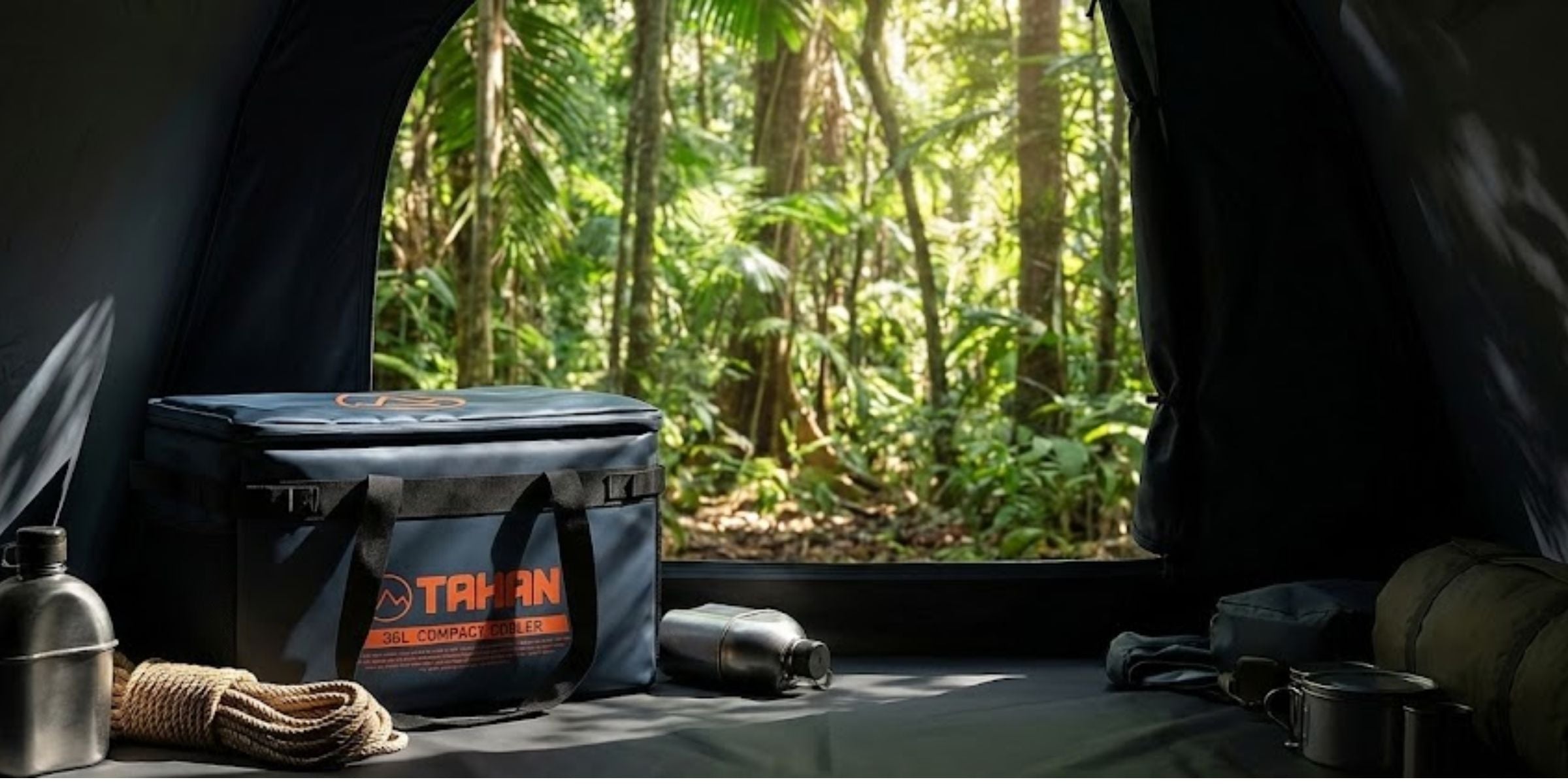


1 comment
Farha
Hai, may i know if permit can be apply online?
Hai, may i know if permit can be apply online?