Bukit Kokol, Sabah: A Hiker's Guide (2026)
Bukit Kokol sits in the Crocker Range foothills about 30 km from Kota Kinabalu — close enough that you can leave the city after lunch and be watching the sun drop behind the South China Sea by early evening. That proximity is a big part of its appeal. You get genuine tropical rainforest, real elevation, and a hilltop view that takes in KK city, the Tunku Abdul Rahman islands, and on a clear day, the unmistakable silhouette of Mount Kinabalu. Not bad for somewhere 45 minutes from town.

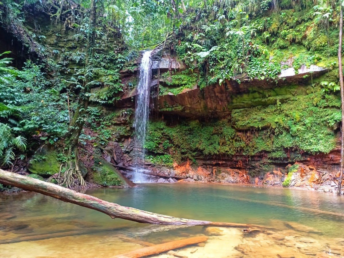
What makes Bukit Kokol interesting is the range of ways to do it. There's a drive-up resort trail that families and beginners handle easily in around 2 hours. Then there's the Kiansom Waterfall trail — a proper Hard to Extreme grind that'll take 5-6 hours and humble you. Pick the wrong route for your fitness level and you'll be suffering in humid Sabah heat, so read the options carefully before you commit.
This isn't a summit-bagger's trophy peak. It's a versatile Sabah hill that rewards planning, good timing, and honest self-assessment about which route you should actually be on.
Quick Facts
- Elevation: ~800m (Crocker Range foothills; some older sources list 500m)
- Distance: ~5 km resort trail (drive-up option); ~8.3 miles for the full Kiansom Waterfall–Kokol Hill trail
- Duration: 2 hours (resort trail); 5–6 hours (Kiansom Waterfall trail); 2–5 hours (Level 1–3 multi-option routes)
- Difficulty: Moderate to Hard/Extreme depending on route — resort trail suitable for beginners and families; Kiansom Waterfall trail rated Hard to Extreme
- Trailhead: Bukit Kokol, Menggatal, Sabah
- Distance from KK city centre: ~30 km, approximately 45 minutes drive
- Permit/Fees: RM10/person admission to Kokol Hill; additional RM10 to enter Kokol Haven Resort and viewpoint
- Temperature: 18–24°C at the hill
- Best time: Late afternoon to early evening (sunset around 5:00–6:30 pm); clear dry days for best views
Getting There & Parking
Bukit Kokol is in Menggatal, roughly 30 km from Kota Kinabalu city centre — about 45 minutes by car. The access road from KK's waterfront is narrow and winding, so if you're not familiar with mountain driving in Sabah, take it slow. A vehicle with decent ground clearance is helpful but not strictly required for the resort trail access road.

Parking details aren't well-documented in current sources, so I'd recommend arriving early — especially if you're targeting sunset, when this place gets busier. Check with Kokol Haven Resort directly before you go to confirm current parking arrangements. Grab-and-Go isn't really an option up here; you need your own transport or arrange a private hire from KK.
Permits & Fees
There's an admission fee of RM10 per person to enter Kokol Hill. If you want access to Kokol Haven Resort and the viewpoint specifically, that's an additional RM10. At Hillside Kokol, there's no entrance fee as such, but you'll need to make a purchase. Fees for children are lower — recent visitors report RM5 for kids 12 and below, with adult pricing at RM10 for ages 13 and above.
The issuing authority for the admission fee isn't clearly documented, so confirm on-site. Guide requirements are also unclear from available sources — independent hiking appears possible, but if you're taking the harder Kiansom Waterfall trail, going with someone who knows it is worth considering.
Trail conditions and permit requirements change — always check with the local forestry office or park authority before you go. Or ask the TAHAN Hiking Community on WhatsApp — someone's usually been there that week. Checking a different gunung? Try our free permit checker — instant answer for 90+ Malaysian mountains.
The Trail: What to Expect
Bukit Kokol offers genuinely different experiences depending on which route you choose. The resort trail is more accessible; the Kiansom Waterfall trail is a serious commitment. Here's a breakdown of what the terrain actually looks like stage by stage.
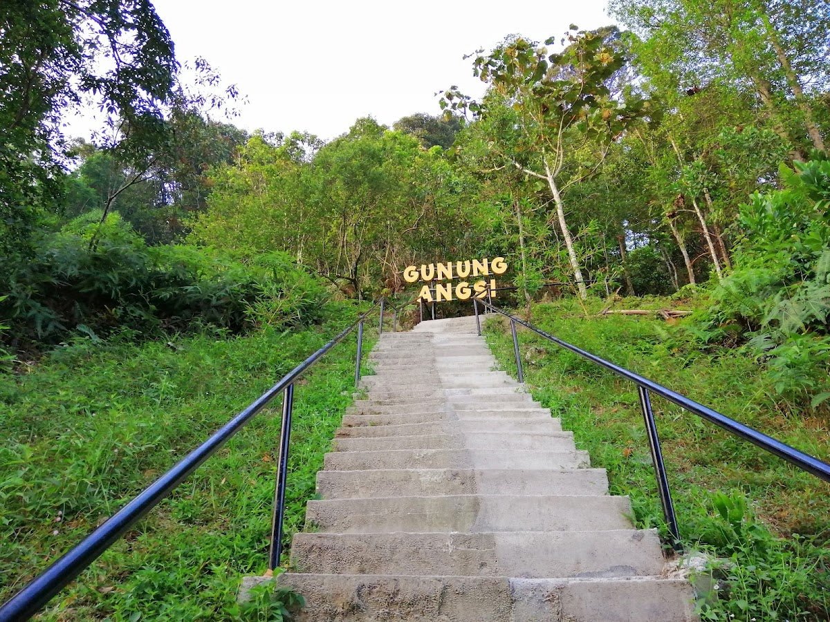
Dense Tropical Rainforest
Whichever route you take, you'll spend significant time in dense tropical rainforest. This is classic Sabah jungle — humid, layered, and alive with bird calls. If you're into birding, Bukit Kokol has a reputation for both endemic and migratory species, so keep your ears open. The shade is welcome, but don't mistake it for cool — it's still hot and sticky in there, especially mid-morning onwards.

Hilly Terrain with Winding Sections
The trail gains elevation through winding, hilly sections that can be deceptively tiring. On the harder routes, expect steep terrain — this is where the Hard to Extreme rating earns its name. The Kiansom Waterfall trail in particular involves sustained climbing that will test your legs and your lungs. Footing can be slippery when wet, and Sabah's weather can shift quickly.
Views of Kampung Houses and Jungle
As you gain height, you start getting glimpses through the canopy — kampung houses dotted across the lower slopes, jungle stretching out in every direction. It's a good reminder that you're in actual Sabah countryside, not some manicured park. These mid-trail views are worth stopping for, especially if cloud cover comes in later and obscures the summit panorama.

Hilltop Viewpoint
The payoff. At the top, you get panoramic views over Kota Kinabalu city, the South China Sea, and the islands of Tunku Abdul Rahman Marine Park. On a truly clear day, Mount Kinabalu fills the sky behind you. Sunset here — somewhere between 5:00 and 6:30 pm — is the reason most people make the effort. Cloud cover can and does ruin it without warning, so if you get a clear day, don't waste it. There's also a paragliding tandem ride option at the hilltop for those who want to extend the experience.

Descent & Safety
Coming down after sunset means doing part of your descent in low light or darkness, especially if you lingered for the full sunset. Bring a headlamp or a good lantern — the TAHAN Luminate Multifunction Lantern works well here as both a personal light and a camp-style light if you're staying over. Don't rely on your phone torch for a jungle descent.
The steep sections that were tiring on the way up become genuinely hazardous on the way down, especially if the trail is wet. Take your time. Knee strain on steep descents is a real issue — if your knees have given you trouble on hills before, address that before you go rather than after.
Key hazards to know:
- Hot and humid conditions throughout — heat exhaustion is a real risk if you're not hydrating properly
- Steep terrain on harder routes — ankle rolls and falls are the most common injuries on trails like this
- Cloud cover can roll in and eliminate your view and reduce visibility on trail
- Slippery footing when wet — Sabah gets rain and it makes everything slick fast
If weather turns bad — heavy rain, thick fog, lightning — turn back. The view is not worth a slip on a wet steep trail. There will be another clear day.

What to Bring
For the resort trail, you can get away with lighter kit. For the Kiansom Waterfall trail or any of the harder multi-level routes, treat this like a proper jungle hike.
- Water: Carry more than you think you need. It's humid Sabah. The Kiansom Waterfall is noted on the longer trail but potability is unknown — don't count on it as your main supply. A TAHAN TrailBladder 2L Water Bladder keeps your hands free and makes it easy to sip without stopping
- Footwear: Trail shoes or hiking boots with grip — not sandals, not running flats
- Rain gear: A lightweight poncho or shell. Sabah weather changes fast
- Headlamp or lantern: Non-negotiable if you're staying for sunset
- Snacks and a proper lunch if you're on the longer trail
- Insect repellent: Jungle trail, need I say more
- Sunscreen: For the open hilltop sections
- Camera or phone with good battery: The views earn it
There is a mini store at Kokol Hill where you can buy cold drinks, which is genuinely welcome after the climb. Don't rely on it as your only water plan though. Check out our hiking gear guide if you're gearing up for more Sabah trails beyond this one.
FAQ
How hard is Bukit Kokol?
It depends entirely on which route you pick. The resort trail is Moderate and suitable for beginners and families. The Kiansom Waterfall trail is rated Hard to Extreme — that's not marketing language, it's a proper jungle slog with steep terrain and sustained effort. Be honest about your fitness before you choose.
How long does Bukit Kokol take?
The resort trail takes around 2 hours. The multi-option Level 1–3 routes range from 2–5 hours depending on which level you're on. The full Kiansom Waterfall to Kokol Hill trail is a 5–6 hour commitment. Plan your start time accordingly, especially if you want to catch the sunset at the top.
Do I need a permit for Bukit Kokol?
There's an admission fee of RM10 per person. Access to Kokol Haven Resort and the viewpoint costs an additional RM10. No permit in the traditional forestry sense, but these fees are required for access. The issuing authority isn't clearly listed in current sources — confirm on arrival or contact the resort directly beforehand.
What's the best time to visit Bukit Kokol?
Late afternoon into early evening — targeting the sunset between 5:00 and 6:30 pm — is when the views are most dramatic. Clear, dry days give you visibility all the way to Mount Kinabalu and the TAR Marine Park islands. Cloud cover is common, so check the weather before making the trip up.
Camp Nearby?
Making a weekend of it? Bukit Kokol itself has camping options at the hilltop, which is worth considering if you want to catch both sunset and sunrise without the drive timing pressure. For more established camping around Sabah, check out our reviews of Tungog Rainforest Eco Camp, Sabah for a proper jungle immersion experience, or head north toward Kota Belud where you'll find Dingin Batu Campsite, Kota Belud and the more comfort-forward Nulinau Glamping Garden, Kota Belud. Staying somewhere nearby the night before also means you can make an early start and avoid the afternoon heat on the trail.
Trail conditions, permit updates, and hiking buddies for the weekend — all in one WhatsApp group. Just ask; someone was probably up there last week.
💬 Join the Hiking CommunityFree, one click. No spam — the occasional promo at most.
Gear tip: How to use a trekking pole (and set the height).
Mike has been camping across Malaysia for over 10 years — from jungle treks in Taman Negara to beach camps in Perhentian. He writes about it so you don't have to find out the hard way. Follow along on TAHAN Outdoor's blog for honest campsite reviews, every week.
⛺ Featured in: The 5 Best Hikes in Sabah (2026)